Großeibstadt - Bad Königshofen Am Himmelreich
Airport details
| Country | Germany |
| State | Bavaria |
| Region | |
| Airspace | Munich Ctr |
| Municipality | Bad Königshofen im Grabfeld |
| Elevation | 1023ft (312m) |
| Timezone | GMT +1 |
| Coordinates | 50.28724, 10.41945 |
| Magnetic var | |
| Type | land |
| Available since | X-Plane v11.55 |
| ICAO code | XEDAO |
| IATA code | n/a |
| FAA code | n/a |
Communication
| Bad Königshofen Am Himmelreich Himmelreich | 134.990 |
Nearby Points of Interest:
Pfarrhaus
-Jüdisches Kriegerdenkmal (Kleinbardorf)
-Pfarrhof
-Synagogue Kleinbardorf
-Schloss Kleinbardorf
-Turmhügel Altenburg (Sulzfeld)
-Bildstock
-Rathaus
-Kloster
-Gemeindebrauhaus
-Kirche
-St. Ursula (Alsleben)
-St. Antonius
-An der Linde 5
-Dreifaltigkeitskirche
-St. Michael
-Dorfkirche Linden
-St. Marien
-Feuerwehrgerätehaus
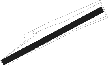
Runway info
| Runway 06 / 24 | ||
| length | 698m (2290ft) | |
| bearing | 74° / 254° | |
| width | 37m (122ft) | |
| surface | grass | |
Nearby beacons
| code | identifier | dist | bearing | frequency |
|---|---|---|---|---|
| FUL | FULDA VOR/DME | 37.2 | 290° | 112.10 |
| EFD | DME | 46.5 | 38° | 112.05 |
| ERL | ERLANGEN VOR/DME | 47.3 | 131° | 114.90 |
| ILM | ILLESHEIM NDB | 48.9 | 182° | 488 |
| ERF | ERFURT VOR/DME | 50.5 | 51° | 113.85 |
| NUB | NUERNBERG VOR/DME | 52.7 | 142° | 115.75 |
| NGD | DME | 53.6 | 140° | 113.10 |
| NSN | NIEDERSTETTEN NDB | 56.4 | 207° | 311 |
| NDD | DME-ILS | 56.5 | 207° | 108.70 |
| RTB | ROETHENBACH NDB | 58 | 134° | 415 |
| ANS | ANSBACH NDB | 59.3 | 168° | 452 |
Disclaimer
The information on this website is not for real aviation. Use this data with the X-Plane flight simulator only! Data taken with kind consent from X-Plane 12 source code and data files. Content is subject to change without notice.