Neugraben-fischbek - Fischbek
Airport details
| Country | Germany |
| State | [Other] |
| Region | |
| Airspace | Bremen Ctr |
| Municipality | Hamburg |
| Elevation | 203ft (62m) |
| Timezone | GMT +1 |
| Coordinates | 53.45828, 9.82583 |
| Magnetic var | |
| Type | land |
| Available since | X-Plane v10.40 |
| ICAO code | XEDB0 |
| IATA code | n/a |
| FAA code | n/a |
Communication
| Fischbek Fischbek Info | 129.975 |
Nearby Points of Interest:
Karlstein
-Church Moisburg
-Rathaus Harburg
-Elbschloss-Brauerei
-Villa de Freitas
-Spirituosen- und Likörfabrik Louis Hilke
-Haus K. in O.
-Hoop op Welvaart
-Lankenaustift
-Black Form – Dedicated to the Missing Jews
-Köhlbrandtreppe
-Zeisehallen
-Behnbrunnen
-Vogthof
-Hof Behrmann
-Osterkirche (Hamburg-Ottensen)
-Reichspräsident-Ebert-Kaserne
-Amtsgericht Hamburg-Altona
-Schaarhörn
-St.-Josephs-Kirche
-Helenenstift
-Nyegaard-Stift
-Hamburger Seemannskirchen
-free school for Israelis
-Kontorhaus Stubbenhuk
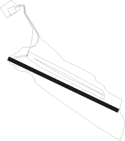
Runway info
| Runway 11 / 29 | ||
| length | 1009m (3310ft) | |
| bearing | 109° / 289° | |
| width | 32m (106ft) | |
| surface | dirt | |
Nearby beacons
| code | identifier | dist | bearing | frequency |
|---|---|---|---|---|
| ALF | DME | 12.2 | 44° | 115.80 |
| HAM | HAMBURG VORTAC | 19.2 | 59° | 113.10 |
| WSN | WESER NDB | 34.7 | 263° | 378 |
| FSB | FASSBERG NDB | 35.1 | 146° | 284 |
| LYE | LUEBECK NDB | 37.1 | 69° | 394 |
| HIG | BREMEN NDB | 41 | 246° | 318 |
| HNT | HOHN TACAN | 52.2 | 341° | 115.30 |
| HN | HOHN NDB | 52.4 | 350° | 344 |
| CEL | CELLE NDB | 52.6 | 167° | 311 |
| NIE | NIENBURG VOR | 52.6 | 209° | 116.50 |
| KIL | KIEL-HOLTENAU NDB | 56.1 | 18° | 353 |
| KHD | (HOLTENAU) DME-ILS | 56.4 | 19° | 109.50 |
| HAD | DME | 59.6 | 188° | 113.95 |
| HA | HANNOVER NDB | 59.7 | 181° | 320 |
| HW | HANNOVER NDB | 60.2 | 196° | 358 |
Disclaimer
The information on this website is not for real aviation. Use this data with the X-Plane flight simulator only! Data taken with kind consent from X-Plane 12 source code and data files. Content is subject to change without notice.