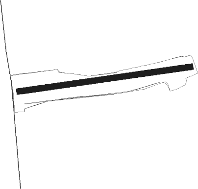
Grambek - Grambeker Heide
Airport details
| Country | Germany |
| State | Schleswig-Holstein |
| Region | |
| Airspace | Bremen Ctr |
| Municipality | Grambek |
| Elevation | 157ft (48m) |
| Timezone | GMT +1 |
| Coordinates | 53.58321, 10.69192 |
| Magnetic var | |
| Type | land |
| Available since | X-Plane v10.40 |
| ICAO code | XEDB9 |
| IATA code | n/a |
| FAA code | n/a |
Communication
Nearby Points of Interest:
Altes Rathaus Mölln
-Marienkirche
-Manor in Gresse
-Herrenhaus Tüschow
-Gut Gülzow
-Church in Siebenbäumen
-Boizenburg Masonic Temple
-Church in Döbbersen
-Lauenburger Schloss
-Dorfkirche Vellahn
-Herrenhaus Zühr
-Zollhaus Herrnburg
-St. Petri
-Church in Körchow
-Klosterhofschule
-Church Echem
-Zeughaus Lübeck
-Alter Zolln
-An der Mauer 154
-Rathaus Gadebusch
-St. Anne's Museum Quarter
-Kapitelstraße 7
-Moltkestraße
-Aegidienhof
-Michaeliskonvent
Nearby beacons
| code | identifier | dist | bearing | frequency |
|---|---|---|---|---|
| LYE | LUEBECK NDB | 13 | 1° | 394 |
| HAM | HAMBURG VORTAC | 18.3 | 282° | 113.10 |
| ALF | DME | 25 | 274° | 115.80 |
| PAH | SCHWERIN-PARCHIM NDB | 36.6 | 101° | 315 |
| FSB | FASSBERG NDB | 43.9 | 217° | 284 |
| BKD | BRUENKENDORF VOR/DME | 45 | 123° | 117.70 |
| KHD | (HOLTENAU) DME-ILS | 51.5 | 326° | 109.50 |
| KIL | KIEL-HOLTENAU NDB | 51.8 | 324° | 353 |
| CEL | CELLE NDB | 64.2 | 214° | 311 |
Disclaimer
The information on this website is not for real aviation. Use this data with the X-Plane flight simulator only! Data taken with kind consent from X-Plane 12 source code and data files. Content is subject to change without notice.