Groß Ippener - Grosse Hoehe
Airport details
| Country | Germany |
| State | Lower Saxony |
| Region | |
| Airspace | Bremen Ctr |
| Municipality | Ganderkesee |
| Elevation | 64ft (20m) |
| Timezone | GMT +1 |
| Coordinates | 52.98676, 8.57116 |
| Magnetic var | |
| Type | land |
| Available since | X-Plane v10.40 |
| ICAO code | XEDCE |
| IATA code | n/a |
| FAA code | n/a |
Communication
Nearby Points of Interest:
Klosterkirche Heiligenrode
-Warturm und Storchnest
-Bauernhaus Westerdeich 146
-Revier Woltmershausen
-Gastfeld
-Kaserne IV des Infanterieregiments Bremen
-Schule an der Kornstraße
-Schuppen 2
-Buntentorsfriedhof
-Kontorhaus und Hafenspeicher Auf der Muggenburg
-Poppes Landhaus
-Kleiner Roland
-Speicher I
-Wohn- und Geschäftshäuser Rückertstraße 1
-Schutzpolizeigebäude „Kommando Hafen“
-Haus Soltmann
-Bremer Tabakbörse
-Getreideverkehrsanlage
-Lehrgebäude Seefahrtschule Bremen
-Ölmühle Groß-Gerau-Bremen
-Giebelhaus Faulenstraße 17
-Kaffee-Hag-Werk I
-Schünemannhaus
-Burg Freudenberg (Bassum)
-Suding & Soeken building
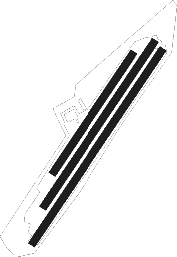
Runway info
Runway 04L / 22R  | ||
| length | 611m (2005ft) | |
| bearing | 53° / 233° | |
| width | 34m (112ft) | |
| surface | grass | |
| Runway 04 / 22 | ||
| length | 851m (2792ft) | |
| bearing | 53° / 233° | |
| width | 34m (112ft) | |
| surface | grass | |
| Runway 04R / 22L | ||
| length | 1000m (3281ft) | |
| bearing | 53° / 233° | |
| width | 34m (112ft) | |
| surface | grass | |
Nearby beacons
| code | identifier | dist | bearing | frequency |
|---|---|---|---|---|
| BMN | BREMEN VOR/DME | 7.7 | 73° | 117.45 |
| BND | DME | 8.3 | 75° | 113.65 |
| HIG | BREMEN NDB | 12.7 | 79° | 318 |
| DP | DIEPHOLZ NDB | 24.1 | 197° | 325 |
| WSN | WESER NDB | 24.2 | 40° | 378 |
| NIE | NIENBURG VOR | 36.2 | 114° | 116.50 |
| WUN | WUNSTORF TACAN | 44.6 | 122° | 114.85 |
| WTM | WITTMUNDHAFEN TACAN | 45.6 | 304° | 113.50 |
| BYC | BUECKEBURG NDB | 45.8 | 143° | 368 |
| NDO | NORDHOLZ TACAN | 47 | 6° | 117.10 |
| HW | HANNOVER NDB | 47.1 | 118° | 358 |
| OSB | OSNABRUCK TACAN | 48.3 | 200° | 108.35 |
| OSN | OSNABRUECK VOR | 48.3 | 200° | 114.30 |
| NDO | NORDHOLZ NDB | 48.6 | 16° | 372 |
| MYN | MUENSTER/OSNABRUECK NDB | 57.1 | 223° | 371 |
| MOD | DME | 60.3 | 226° | 114.05 |
Disclaimer
The information on this website is not for real aviation. Use this data with the X-Plane flight simulator only! Data taken with kind consent from X-Plane 12 source code and data files. Content is subject to change without notice.