Kell Am See
Airport details
| Country | Germany |
| State | Rhineland-Palatinate |
| Region | |
| Airspace | Langen Ctr |
| Municipality | Kell am See |
| Elevation | 1830ft (558m) |
| Timezone | GMT +1 |
| Coordinates | 49.62104, 6.84378 |
| Magnetic var | |
| Type | land |
| Available since | X-Plane v10.40 |
| ICAO code | XEDDG |
| IATA code | n/a |
| FAA code | n/a |
Communication
| Kell am See Kell Start | 133.065 |
Nearby Points of Interest:
Amtsgericht Hermeskeil
-Protestant Church (Hermeskeil)
-St. Wilfridus
-Sommerauer Wasserfall
-St. Blasius
-Staatliche Weinbaudomäne Trier
-Heilig-Kreuz-Kirche
-Heilig-Kreuz-Kirche (Trier)
-Franzensknüppchen
-Mariä Heimsuchung
-Municipal Library Trier
-St. Johannes der Täufer (Kastel-Staadt)
-St. Martin (Pfalzel)
-Bischöfliches Priesterseminar zu Trier
-Schloss Ayl
-Roman Monuments, Cathedral of St. Peter and Church of Our Lady in Trier UNESCO World Heritage Site
-Französisches Casino
-Turm Jerusalem
-Karl-Marx-Wohnhaus
-Simeonstift of Trier
-Jaeger barracks
-House Warsberg
-Biereiche
-Zollkran
-Alter Krahnen
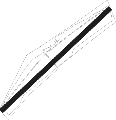
Runway info
| Runway 05 / 23 | ||
| length | 1103m (3619ft) | |
| bearing | 62° / 242° | |
| width | 37m (122ft) | |
| surface | grass | |
| displ threshold | 196m (643ft) / 185m (607ft) | |
Nearby beacons
| code | identifier | dist | bearing | frequency |
|---|---|---|---|---|
| ELU | LUXEMBOURG NDB | 19.3 | 277° | 368 |
| SPA | SPANGDAHLEM TACAN | 22.2 | 338° | 109.50 |
| LE | LUXEMBOURG NDB | 23.1 | 272° | 318 |
| LUX | LUXEMBOURG VOR/DME | 23.2 | 272° | 112.25 |
| FHH | DME | 25.1 | 52° | 117.35 |
| LW | LUXEMBOURG NDB | 26 | 269° | 404 |
| HAN | HAHN NDB | 26.7 | 52° | 376 |
| SAD | DME | 26.7 | 146° | 116.75 |
| SR | ENSHEIM (SAARBRUECKEN) NDB | 28.3 | 137° | 360 |
| WLU | LUXEMBOURG NDB | 30.9 | 266° | 346 |
| RMS | RAMSTEIN TACAN | 31 | 104° | 113.40 |
| DIK | DIEKIRCH NDB | 31.2 | 289° | 307 |
| MTZ | METZ NDB | 32.3 | 241° | 354 |
| ZWN | ZWEIBRUECKEN VOR/DME | 32.5 | 124° | 114.80 |
| BUE | BUECHEL TACAN | 34.6 | 22° | 117.10 |
| GTQ | GROSTENQUIN VOR/DME | 38.4 | 191° | 111.25 |
| LOU | LORRAINE NDB | 43.5 | 223° | 388 |
| PHG | PHALSBOURG NDB | 53.1 | 157° | 424 |
| SAV | SAVERNE VOR/DME | 54.9 | 144° | 110.45 |
| SLV | SPA NDB | 62.7 | 313° | 386 |
Disclaimer
The information on this website is not for real aviation. Use this data with the X-Plane flight simulator only! Data taken with kind consent from X-Plane 12 source code and data files. Content is subject to change without notice.