Kißlegg - Wangen-kisslegg
Airport details
| Country | Germany |
| State | Baden-Württemberg |
| Region | |
| Airspace | Munich Ctr |
| Municipality | Kißlegg |
| Elevation | 2100ft (640m) |
| Timezone | GMT +1 |
| Coordinates | 47.75148, 9.86577 |
| Magnetic var | |
| Type | land |
| Available since | X-Plane v10.40 |
| ICAO code | XEDDJ |
| IATA code | n/a |
| FAA code | n/a |
Communication
| Wangen-Kisslegg Wangen Info | 123.965 |
Nearby Points of Interest:
rectory
-Franziskanerinnenkloster Leutkirch im Allgäu
-St. George's Abbey
-Pfarrkirche St. Maria (Isny)
-Dorfkapelle Starkenhofen
-Neues Pfarrhaus
-Rathaus Lindenberg im Allgäu
-Blasiuskapelle in Briach
-Findling östlich von Lindenberg
-Speidlerhaus
-Amtsgericht Ravensburg
-Altes Theater
-Landgericht Ravensburg
-Pfarrkirche St. Jodok
-Pfarrhaus
-Schloss Liebenau
-St. Maria
-Pfarrkirche Hl. Ulrich
-Ulrichskapelle
-Kapelle
-Pestkapelle (Kimratshofen)
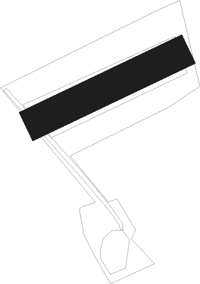
Runway info
| Runway 06 / 24 | ||
| length | 208m (682ft) | |
| bearing | 76° / 256° | |
| width | 44m (146ft) | |
| surface | grass | |
Nearby beacons
| code | identifier | dist | bearing | frequency |
|---|---|---|---|---|
| FHD | DME | 15.4 | 257° | 112.60 |
| KPT | KEMPTEN VOR/DME | 19.5 | 91° | 108.40 |
| ALD | (MEMMINGEN/ALLGAU) DME | 20.4 | 57° | 117.20 |
| ALG | ALLGAEU (MEMMINGEN) NDB | 21.7 | 58° | 341 |
| LUP | LAUPHEIM NDB | 28 | 6° | 407 |
| LCH | LECHFELD TACAN | 47.8 | 66° | 108.80 |
| WFJ | DME | 55.1 | 184° | 113.75 |
| TGO | TANGO TACAN | 57.4 | 325° | 112.50 |
| STG | STUTTGART VOR/DME | 61.7 | 327° | 116.85 |
| SGD | DME | 61.8 | 326° | 115.45 |
Disclaimer
The information on this website is not for real aviation. Use this data with the X-Plane flight simulator only! Data taken with kind consent from X-Plane 12 source code and data files. Content is subject to change without notice.