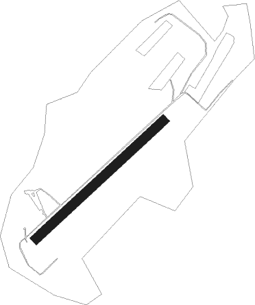
Denkingen - Klippeneck
Airport details
| Country | Germany |
| State | Baden-Württemberg |
| Region | |
| Airspace | Langen Ctr |
| Municipality | Denkingen |
| Elevation | 3116ft (950m) |
| Timezone | GMT +1 |
| Coordinates | 48.10484, 8.75692 |
| Magnetic var | |
| Type | land |
| Available since | X-Plane v10.40 |
| ICAO code | XEDDM |
| IATA code | n/a |
| FAA code | n/a |
Communication
| Klippeneck Klippeneck Info | 135.090 |
Nearby Points of Interest:
Amtsgericht Rottweil
-Amtsgericht und Landgericht Rottweil
-Städtische Turnhalle Rottweil
-Sebastianskapelle (Mühlheim an der Donau)
-Rathaus (Mühlheim an der Donau)
-Oberes Tor
-Grabenstraße 11 (Mühlheim an der Donau)
-Villa Schlenker
-Spital (Balingen)
-Viehmarktplatz 8
-Stadtbefestigung Balingen
-Stadtkirche Balingen
-Marktbrunnen (Balingen)
-Friedhofkirche Balingen
-Buchheimer Hans
-Denkmal für die Gefallenen des Ersten Weltkriegs
-Burg Wartenberg (Geisingen)
-Landesberufsschule für das Hotel- und Gaststättengewerbe
-St. Ulrich (Thanheim)
-Villa rustica of Meßkirch
-Katholisches Pfarrhaus Engen
-Category:St Anna Church (Haigerloch)
-Unsere liebe Frau vom Berge Karmel
-Felsentäle
-Villa Junghans
Nearby beacons
| code | identifier | dist | bearing | frequency |
|---|---|---|---|---|
| SUL | SULZ VOR | 17.2 | 338° | 116.10 |
| TRA | DME | 28 | 218° | 114.30 |
| ZUE | ZURICH EAST VOR/DME | 30.8 | 173° | 110.05 |
| TGO | TANGO TACAN | 36.7 | 44° | 112.50 |
| SGD | DME | 39.6 | 39° | 115.45 |
| KLO | KLOTEN (ZURICH) VOR/DME | 39.8 | 198° | 114.85 |
| FHD | DME | 39.9 | 120° | 112.60 |
| LRD | DME | 40.3 | 286° | 108.05 |
| LHR | LAHR NDB | 40.5 | 284° | 337 |
| STG | STUTTGART VOR/DME | 40.7 | 40° | 116.85 |
| KBD | DME | 48.5 | 315° | 115.80 |
| KBA | KARLSRUHE/BADEN-BADEN NDB | 49.2 | 316° | 431 |
| KRH | KARLSRUHE VOR/DME | 53.7 | 349° | 115.95 |
| LBU | LUBURG VOR/DME | 53.7 | 36° | 109.20 |
| WIL | WILLISAU VOR/DME | 65.4 | 223° | 116.90 |
Disclaimer
The information on this website is not for real aviation. Use this data with the X-Plane flight simulator only! Data taken with kind consent from X-Plane 12 source code and data files. Content is subject to change without notice.