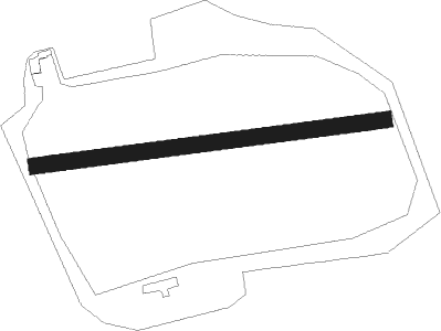
Riesa Railway Station - Riesa-canitz
Airport details
| Country | Germany |
| State | Saxony |
| Region | |
| Airspace | Munich Ctr |
| Municipality | Riesa |
| Elevation | 401ft (122m) |
| Timezone | GMT +1 |
| Coordinates | 51.30258, 13.22127 |
| Magnetic var | |
| Type | land |
| Available since | X-Plane v10.40 |
| ICAO code | XEDE9 |
| IATA code | n/a |
| FAA code | n/a |
Communication
| Riesa-Canitz Riesa-Canitz Info | 123.500 |
Nearby beacons
| code | identifier | dist | bearing | frequency |
|---|---|---|---|---|
| DRN | DRESDEN VOR/DME | 22.3 | 127° | 114.35 |
| DND | DME | 22.6 | 108° | 115.40 |
| FS | DRESDEN NDB | 24.5 | 100° | 374 |
| HOZ | HOLZDORF TACAN | 27.8 | 357° | 117.25 |
| HOZ | HOLZDORF NDB | 28.4 | 345° | 406 |
| LEG | LEIPZIG VOR/DME | 29.1 | 280° | 115.85 |
| ABU | ALTENBURG NDB | 32.2 | 246° | 330 |
| AGD | DME | 32.9 | 246° | 115.30 |
| ZIG | LEIPZIG NDB | 36.1 | 278° | 340 |
| SKZ | SCHKEUDITZ (LEIPZIG-HALLE) NDB | 36.2 | 277° | 357 |
| LLD | SOUTH(LEIPZIG- DME | 37.7 | 276° | 112.15 |
| LND | NORTH(LEIPZIG- DME | 38.1 | 278° | 113.50 |
| KLF | KLASDORF VOR/DME | 44.8 | 26° | 115.15 |
Disclaimer
The information on this website is not for real aviation. Use this data with the X-Plane flight simulator only! Data taken with kind consent from X-Plane 12 source code and data files. Content is subject to change without notice.
