Vielbrunn
Airport details
| Country | Germany |
| State | Hesse |
| Region | ED |
| Airspace | Langen Ctr |
| Municipality | Michelstadt |
| Elevation | 1523ft (464m) |
| Timezone | GMT +1 |
| Coordinates | 49.72202, 9.08173 |
| Magnetic var | |
| Type | land |
| Available since | X-Plane v10.40 |
| ICAO code | XEDF3 |
| IATA code | n/a |
| FAA code | n/a |
Communication
| Vielbrunn Vielbrunn Info | 123.150 |
Nearby Points of Interest:
Jagdschloß Eulbach
-Evangelische Kirche Bad König
-Schloss Bad König
-Burg Lützelbach
-Schloss Laudenbach (Unterfranken)
-Friedhof Michelstadt
-Rathaus Michelstadt
-Alte Brauerei
-Marktplatz 6
-Friedhof
-Pretlack’sches Palais
-Rathaus
-Burgmannenhaus Pavey
-Habermannsburg
-Bildstock
-St. Nikolaus
-Synagoge
-Stadtschloss Klingenberg
-Bergfried
-Turmhügel Heunenhügel
-Marktplatz 11 (Breuberg)
-Jagdschloesschen Carlsruhe
-Evangelische Kirche Sandbach
-Hohlstraße 9 (Sandbach)
-Burg Frankenberg
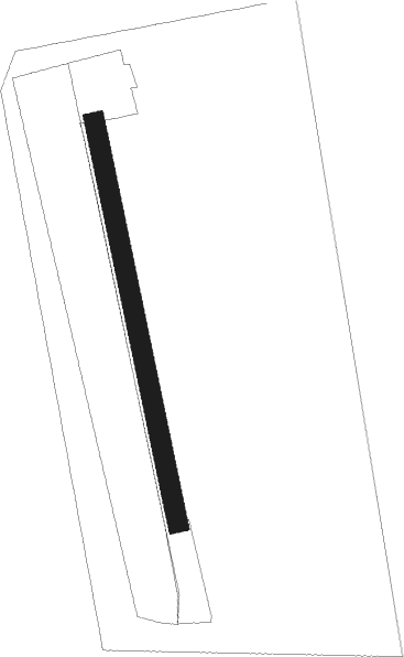
Runway info
| Runway 17 / 35 | ||
| length | 595m (1952ft) | |
| bearing | 169° / 349° | |
| width | 29m (94ft) | |
| surface | grass | |
Nearby beacons
| code | identifier | dist | bearing | frequency |
|---|---|---|---|---|
| CHA | CHARLIE VOR/DME | 12 | 348° | 115.35 |
| RID | RIED VOR/DME | 21.2 | 276° | 112.20 |
| FR | FRANKFURT NDB | 25.7 | 311° | 297 |
| FFM | FRANKFURT VORTAC | 26.3 | 307° | 114.20 |
| MND | DME | 26.7 | 246° | 113.55 |
| NKR | NECKAR NDB | 26.8 | 222° | 292 |
| FRD | DME | 27.1 | 301° | 115.90 |
| VFM | NAUHEIM VOR | 27.6 | 291° | 113.75 |
| FW | FRANKFURT NDB | 30.4 | 293° | 382 |
| MTR | METRO VOR | 34.4 | 337° | 110 |
| WIB | WIESBADEN TACAN | 35.6 | 293° | 114.10 |
| NDD | DME-ILS | 39.5 | 110° | 108.70 |
| NSN | NIEDERSTETTEN NDB | 39.6 | 110° | 311 |
| GED | GEDERN VORTAC | 41.9 | 14° | 110.80 |
| SHD | HALL DME | 45.4 | 131° | 108.05 |
| TAU | TAUNUS VOR/DME | 47.6 | 300° | 113.35 |
| KRH | KARLSRUHE VOR/DME | 47.9 | 214° | 115.95 |
| LBU | LUBURG VOR/DME | 49.6 | 162° | 109.20 |
| FUL | FULDA VOR/DME | 55.5 | 29° | 112.10 |
| KBA | KARLSRUHE/BADEN-BADEN NDB | 67.5 | 227° | 431 |
| SIL | SIEGERLAND NDB | 68 | 315° | 489 |
| KBD | DME | 68.6 | 227° | 115.80 |
Disclaimer
The information on this website is not for real aviation. Use this data with the X-Plane flight simulator only! Data taken with kind consent from X-Plane 12 source code and data files. Content is subject to change without notice.