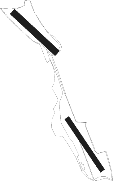
Obrigheim - Mosbach Schreckhof
Airport details
| Country | Germany |
| State | Baden-Württemberg |
| Region | |
| Airspace | Langen Ctr |
| Municipality | Mosbach |
| Elevation | 897ft (273m) |
| Timezone | GMT +1 |
| Coordinates | 49.35850, 9.11611 |
| Magnetic var | |
| Type | land |
| Available since | X-Plane v11.51r1 |
| ICAO code | XEDFG |
| IATA code | n/a |
| FAA code | n/a |
Communication
Nearby Points of Interest:
Schloss Hochhausen
-Alte katholische Kirche Lohrbach
-Haus Mosbacher Straße 3
-Limeswachturm Wp 10/59
-Lindenplatz 5
-Grabkapelle der Freiherren von Ellrichshausen
-Holy Trinity Chapel
-Saint Luke Church
-Rappengasse 6
-Hartlesbrunnen
-Altes Pfarrhaus (Eschelbronn)
-Böllinger Mühle
-Synagogue (Sennfeld)
-Taharahaus
-Jüdischer Friedhof Sinsheim
-Stellsteinreihe
-Pfarrhaus (Neckargartach)
-Mittelstraße 13 und 15
-Böckinger Straße 7
-Ludwig’sche Mühle
-Cotta‘sche Villa
-Stauchenstraße 22
-Kirchstraße 17
-Hintertorstraße 1
-Böckinger Straße 98

Nearby beacons
| code | identifier | dist | bearing | frequency |
|---|---|---|---|---|
| NKR | NECKAR NDB | 15 | 267° | 292 |
| MND | DME | 24.3 | 281° | 113.55 |
| LBU | LUBURG VOR/DME | 28.1 | 153° | 109.20 |
| SHD | HALL DME | 29.7 | 110° | 108.05 |
| KRH | KARLSRUHE VOR/DME | 30.2 | 235° | 115.95 |
| NDD | DME-ILS | 33 | 88° | 108.70 |
| NSN | NIEDERSTETTEN NDB | 33.2 | 88° | 311 |
| RID | RIED VOR/DME | 33.8 | 306° | 112.20 |
| CHA | CHARLIE VOR/DME | 33.9 | 352° | 115.35 |
| STG | STUTTGART VOR/DME | 40.1 | 168° | 116.85 |
| SGD | DME | 40.4 | 171° | 115.45 |
| VFM | NAUHEIM VOR | 44 | 313° | 113.75 |
| TGO | TANGO TACAN | 44.8 | 169° | 112.50 |
| FRD | DME | 45.5 | 321° | 115.90 |
| FR | FRANKFURT NDB | 45.6 | 329° | 297 |
| FFM | FRANKFURT VORTAC | 45.7 | 325° | 114.20 |
| FW | FRANKFURT NDB | 47.1 | 313° | 382 |
| WIB | WIESBADEN TACAN | 51.8 | 310° | 114.10 |
| MTR | METRO VOR | 56 | 344° | 110 |
| SUL | SULZ VOR | 61.5 | 206° | 116.10 |
| TAU | TAUNUS VOR/DME | 65 | 313° | 113.35 |
Disclaimer
The information on this website is not for real aviation. Use this data with the X-Plane flight simulator only! Data taken with kind consent from X-Plane 12 source code and data files. Content is subject to change without notice.