Buchholz - Wenzendorf
Airport details
| Country | Germany |
| State | Lower Saxony |
| Region | |
| Airspace | Bremen Ctr |
| Municipality | Wenzendorf |
| Elevation | 214ft (65m) |
| Timezone | GMT +1 |
| Coordinates | 53.33487, 9.77672 |
| Magnetic var | |
| Type | land |
| Available since | X-Plane v10.40 |
| ICAO code | XEDGD |
| IATA code | n/a |
| FAA code | n/a |
Communication
| Wenzendorf Wenzendorf Segelflug | 123.505 |
Nearby Points of Interest:
Johanneskirche
-Amtsgericht Tostedt
-Karlstein
-Church Moisburg
-Rathaus Harburg
-Sankt Antonius
-Spirituosen- und Likörfabrik Louis Hilke
-Elbschloss-Brauerei
-Villa de Freitas
-Haus K. in O.
-Hoop op Welvaart
-Lankenaustift
-Köhlbrandtreppe
-Black Form – Dedicated to the Missing Jews
-Behnbrunnen
-Zeisehallen
-Schaarhörn
-Osterkirche (Hamburg-Ottensen)
-Vogthof
-Hof Behrmann
-St.-Josephs-Kirche
-Hamburger Seemannskirchen
-Reichspräsident-Ebert-Kaserne
-Amtsgericht Hamburg-Altona
-Kontorhaus Stubbenhuk
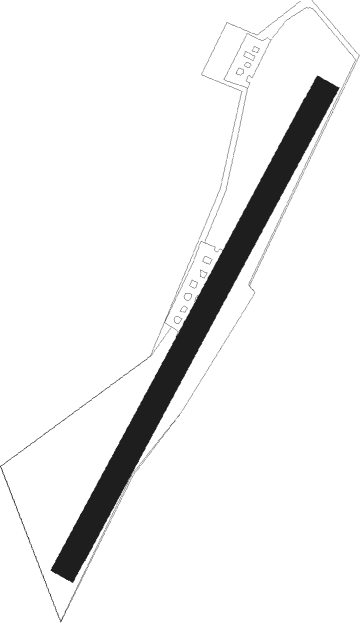
Runway info
| Runway 04 / 22 | ||
| length | 656m (2152ft) | |
| bearing | 47° / 227° | |
| width | 30m (98ft) | |
| surface | grass | |
Nearby beacons
| code | identifier | dist | bearing | frequency |
|---|---|---|---|---|
| ALF | DME | 19.6 | 36° | 115.80 |
| HAM | HAMBURG VORTAC | 26 | 51° | 113.10 |
| FSB | FASSBERG NDB | 29.2 | 136° | 284 |
| WSN | WESER NDB | 32.3 | 271° | 378 |
| HIG | BREMEN NDB | 35.6 | 252° | 318 |
| BND | DME | 39.8 | 254° | 113.65 |
| LYE | LUEBECK NDB | 43.1 | 63° | 394 |
| NDO | NORDHOLZ NDB | 43.9 | 295° | 372 |
| NIE | NIENBURG VOR | 45 | 210° | 116.50 |
| CEL | CELLE NDB | 45.6 | 161° | 311 |
| HAD | DME | 52.1 | 185° | 113.95 |
| HA | HANNOVER NDB | 52.3 | 178° | 320 |
| HW | HANNOVER NDB | 52.6 | 195° | 358 |
| HBD | DME | 52.9 | 188° | 116.90 |
| WUN | WUNSTORF TACAN | 54.3 | 202° | 114.85 |
| HNT | HOHN TACAN | 59.2 | 346° | 115.30 |
| HN | HOHN NDB | 59.6 | 354° | 344 |
Disclaimer
The information on this website is not for real aviation. Use this data with the X-Plane flight simulator only! Data taken with kind consent from X-Plane 12 source code and data files. Content is subject to change without notice.