Wredenhagen - Wittstock Berlinchen
Airport details
| Country | Germany |
| State | Brandenburg |
| Region | |
| Airspace | Bremen Ctr |
| Municipality | Wittstock/Dosse |
| Elevation | 257ft (78m) |
| Timezone | GMT +1 |
| Coordinates | 53.22303, 12.56134 |
| Magnetic var | |
| Type | land |
| Available since | X-Plane v10.40 |
| ICAO code | XEDGI |
| IATA code | n/a |
| FAA code | n/a |
Communication
| Wittstock Berlinchen Wittstock Info | 127.860 |
Nearby Points of Interest:
Village church Dranse
-Village church Klein Haßlow
-Village church Schweinrich
-Burgwall von Kieve
-Village church Wulfersdorf, Wittstock
-Gutshaus Buschhof
-Village church Dossow
-Scheune Bollewick
-Altes Schloss Freyenstein
-Röbel (Meckl) railway station
-Synagoge
-Town hall in Röbel/Müritz
-Church in Minzow
-Gutshaus Ludorf
-Village church Rossow
-Church in Stuer
-Church in Leussow
-Village church Wutike
-Tuchfabrik Draeger
-Dorfkirche Brüsenhagen
-Townhall Pritzwalk
-Village church Preddöhl
-Church in Blankenförde
-Riesenstein
-Schloss Blücher
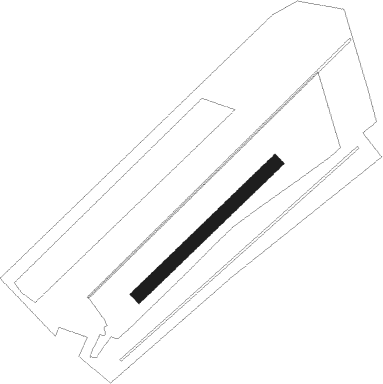
Runway info
| Runway 05 / 23 | ||
| length | 734m (2408ft) | |
| bearing | 64° / 244° | |
| width | 50m (164ft) | |
| surface | grass | |
Nearby beacons
| code | identifier | dist | bearing | frequency |
|---|---|---|---|---|
| PI | SCHWERIN-PARCHIM NDB | 27.4 | 290° | 333 |
| LWB | LOEWENBERG VOR/DME | 27.9 | 119° | 114.55 |
| PMD | DME | 30.3 | 285° | 117.50 |
| PAH | SCHWERIN-PARCHIM NDB | 33.7 | 281° | 315 |
| LAG | LAAGE TACAN | 42.9 | 338° | 108.25 |
| SDD | DME | 61.3 | 132° | 114.40 |
| BBI | BERLIN BRANDENBURG VOR/DME | 62 | 135° | 114.10 |
Disclaimer
The information on this website is not for real aviation. Use this data with the X-Plane flight simulator only! Data taken with kind consent from X-Plane 12 source code and data files. Content is subject to change without notice.