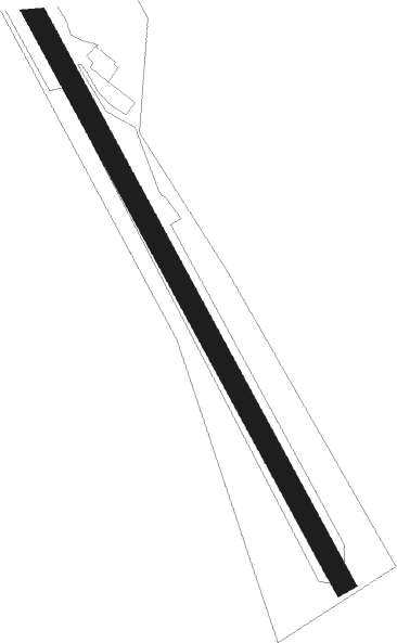
Kilkeel - Aughrim
Airport details
| Country | United Kingdom |
| State | Northern Ireland |
| Region | |
| Airspace | Scottish Ctr |
| Municipality | County Down |
| Elevation | 600ft (183m) |
| Timezone | GMT +0 |
| Coordinates | 54.09526, -6.04706 |
| Magnetic var | |
| Type | land |
| Available since | X-Plane v11.30 |
| ICAO code | XEG000V |
| IATA code | n/a |
| FAA code | n/a |
Communication
Nearby Points of Interest:
Mourne Mountains
-Newry Town Hall
-Ring of Gullion AONB
-Dromiskin Monastery
-Banbridge Town Hall
-Down Arts Centre
Nearby beacons
| code | identifier | dist | bearing | frequency |
|---|---|---|---|---|
| GMN | GORMANSTON NDB | 27.5 | 202° | 334 |
| GMN | DME | 27.7 | 203° | 112.90 |
| HB | BELFAST CITY NDB | 32.1 | 18° | 420 |
| MCM | DME | 32.1 | 258° | 114.40 |
| BEL | BELFAST VOR/DME | 34.5 | 342° | 117.20 |
| OY | BELFAST/ALDERGROVE NDB | 35.9 | 356° | 332 |
| DUB | DUBLIN VOR/DME | 36.9 | 204° | 114.90 |
| OP | DUBLIN NDB | 41 | 188° | 397 |
| DAP | COLLINSTOWN VOR/DME | 41.3 | 201° | 111.20 |
| OE | DUBLIN NDB | 42.1 | 210° | 316 |
| KLY | KILLINEY NDB | 49.6 | 184° | 378 |
| BAL | BALDONNEL VOR/DME | 49.8 | 207° | 115.80 |
Disclaimer
The information on this website is not for real aviation. Use this data with the X-Plane flight simulator only! Data taken with kind consent from X-Plane 12 source code and data files. Content is subject to change without notice.