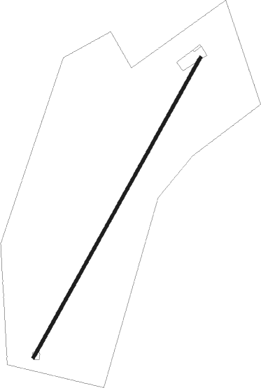
Bedworth - Camp Farm
Airport details
| Country | United Kingdom |
| State | England |
| Region | |
| Airspace | London Ctr |
| Municipality | Nuneaton and Bedworth |
| Elevation | 320ft (98m) |
| Timezone | GMT +0 |
| Coordinates | 52.47055, -1.44986 |
| Magnetic var | |
| Type | land |
| Available since | X-Plane v11.40 |
| ICAO code | XEG001T |
| IATA code | n/a |
| FAA code | n/a |
Communication
Nearby Points of Interest:
Arbury Hall
-Nuneaton Priory
-Bird Grove House
-Coventry city walls
-Blue Coat School
-St. Mary's Priory and Cathedral
-Drapers' Hall
-22 Bayley Lane
-St Mary's Guildhall
-Coventry Council House
-Mediaeval Stone Building, Coventry
-The Charterhouse, Coventry
-Dormer Cottage
-65, Birmingham Road
-Brandon Castle
-Baginton Castle
-Houses for Visiting Mathematicians
-Ullesthorpe Mill
-29th Division War Memorial
-Merevale Hall
-Shenton Hall
-Packington Old Hall
-Berkswell Hall
-Packington Hall
-Stoneleigh Abbey Gatehouse
Nearby beacons
| code | identifier | dist | bearing | frequency |
|---|---|---|---|---|
| HON | HONILEY VOR/DME | 10.3 | 242° | 113.65 |
| BHX | BIRMINGHAM NDB | 11.1 | 267° | 406 |
| LE | LEICESTER NDB | 17.2 | 72° | 383 |
| DTY | DAVENTRY VOR/DME | 21.3 | 131° | 116.40 |
| EMW | EAST MIDLANDS NDB | 21.5 | 359° | 393 |
| EME | EAST MIDLANDS NDB | 23.6 | 35° | 353 |
| TNL | TATENHILL NDB | 23.6 | 317° | 327 |
| WBA | WOLVERHAMPTON NDB | 29.8 | 273° | 356 |
| WOL | DME | 29.8 | 273° | 108.60 |
| WIT | WITTERING TACAN | 35.7 | 82° | 117.60 |
| TNT | TRENT VOR/DME | 35.9 | 339° | 115.70 |
| OX | OXFORD NDB | 38.5 | 169° | 367 |
| CIT | CRANFIELD NDB | 38.6 | 111° | 850 |
| WCO | WESTCOTT NDB | 41.2 | 142° | 335 |
| BZ | BRIZE NORTON NDB | 43.6 | 192° | 386 |
| GST | GLOUCESTERSHIRE NDB | 43.6 | 231° | 331 |
| BZN | BRIZE NORTON TACAN | 43.7 | 192° | 111.90 |
| CWL | CRANWELL NDB | 48.3 | 60° | 423 |
| CWZ | CRANWELL TACAN | 48.5 | 60° | 117.40 |
| FFA | FAIRFORD TACAN | 49 | 204° | 113.40 |
| HEN | HENTON NDB | 49.1 | 137° | 433 |
| GAM | GAMSTON VOR/DME | 51.9 | 32° | 112.80 |
| BSO | BENSON TACAN | 53 | 158° | 110 |
| WAD | WADDINGTON TACAN | 53.5 | 53° | 117.10 |
| BNN | BOVINGDON VOR/DME | 55.6 | 130° | 113.75 |
| CPT | COMPTON VOR/DME | 59.4 | 167° | 114.35 |
| MCT | MANCHESTER VOR/DME | 60.8 | 317° | 113.55 |
| CHT | CHILTERN NDB | 61.4 | 132° | 277 |
| BUR | BURNHAM NDB | 63.8 | 141° | 421 |
| LON | LONDON VOR/DME | 69.3 | 135° | 113.60 |
| MLD | MILDENHALL TACAN | 71.2 | 93° | 115.90 |
| LKH | LAKENHEATH TACAN | 73.2 | 92° | 110.20 |
| MAM | MARHAM TACAN | 74.1 | 85° | 108.70 |
Disclaimer
The information on this website is not for real aviation. Use this data with the X-Plane flight simulator only! Data taken with kind consent from X-Plane 12 source code and data files. Content is subject to change without notice.