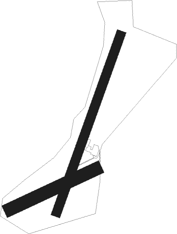
Thirsk - Sutton Bank
Airport details
| Country | United Kingdom |
| State | England |
| Region | |
| Airspace | London Ctr |
| Municipality | Hambleton |
| Elevation | 933ft (284m) |
| Timezone | GMT +0 |
| Coordinates | 54.22616, -1.21256 |
| Magnetic var | |
| Type | land |
| Available since | X-Plane v10.40 |
| ICAO code | XEG001W |
| IATA code | n/a |
| FAA code | n/a |
Communication
| Sutton Bank Sutton Base | 118.685 |
Nearby Points of Interest:
Gormire Lake
-Duncombe Park
-Gilling Castle
-Otterington Hall
-Sutton Park
-County Hall
-Norton Conyers House
-Equestrian statue of Charles II of England trampling Cromwell
-Newby Hall
-Battle of the Standard
-Busby Hall
-Allerton Castle
-St Lawrence's Church
-Rudby Hall
-Bedale Hall
-Fountains Hall
-Howsham Hall
-Kirkham Priory
-The Milton Rooms
-Nos 25,27,29 And 31 (Old Town Hall) With Additional Range On Right Return
-Knaresborough Viaduct
-St Robert's Cave medieval hermitage, 90m north of Plumpton Mill Farm
-Cowton railway station
-Grantley Hall
-Bootham Park Hospital

Nearby beacons
| code | identifier | dist | bearing | frequency |
|---|---|---|---|---|
| LEE | LEEMING TACAN | 12.1 | 282° | 112.60 |
| TD | TEESSIDE INTL NDB | 20.5 | 340° | 347 |
| SBL | SHERBURN-IN-ELMET NDB | 26.2 | 179° | 323 |
| LBA | LEEDS BRADFORD NDB | 26.6 | 231° | 402 |
| POL | POLE HILL VOR/DME | 42.7 | 242° | 112.10 |
| FNY | DONCASTER SHEFFIELD NDB | 45.7 | 164° | 338 |
| KIM | HUMBERSIDE NDB | 49.5 | 127° | 365 |
| NEW | DME | 51.6 | 329° | 114.25 |
| NT | NEWCASTLE NDB | 51.7 | 332° | 352 |
| GAM | GAMSTON VOR/DME | 57.5 | 164° | 112.80 |
Disclaimer
The information on this website is not for real aviation. Use this data with the X-Plane flight simulator only! Data taken with kind consent from X-Plane 12 source code and data files. Content is subject to change without notice.