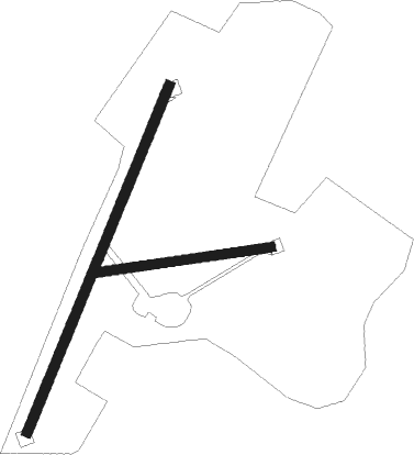
Dingwall - Culbokie
Airport details
| Country | United Kingdom |
| State | Scotland |
| Region | |
| Airspace | Scottish Ctr |
| Municipality | Inverness |
| Elevation | 548ft (167m) |
| Timezone | GMT +0 |
| Coordinates | 57.58606, -4.31752 |
| Magnetic var | |
| Type | land |
| Available since | X-Plane v11.50 |
| ICAO code | XEG002E |
| IATA code | n/a |
| FAA code | n/a |
Communication
| Culbokie Culbokie Traffic | 129.825 |
Nearby Points of Interest:
chambered cairn 620m NW of Balnaguie
-Belmaduthy,chambered cairn 410m SW of Belmaduthy Farm
-Old Allangrange House
-Dingwall Castle
-Carn Glas
-Foulis Castle
-Tulloch Castle
-Novar House
-Beauly Firth
-Kessock Bridge
-Newhall House
-Poyntzfield
-Teaninich Castle
-Craig Phadrig
-Inverness, 96 - 104 Academy Street, Foundry Offices
-Strathpeffer railway station
-Clach an Tiompain
-Strathpeffer Pavilion
-Clach a' Mheirlich
-Inverness Town House
-Cameron Barracks
-Fairburn Tower
-Dochfour House
-Cromarty, Marine Terrace, The Harbour
-Cromarty, High Street, Townlands Farm, Barn

Nearby beacons
| code | identifier | dist | bearing | frequency |
|---|---|---|---|---|
| IVR | INVERNESS NDB | 9.1 | 99° | 328 |
| INS | INVERNESS VOR/DME | 9.2 | 99° | 109.20 |
| LSM | LOSSIEMOUTH TACAN | 32.6 | 83° | 111.30 |
Disclaimer
The information on this website is not for real aviation. Use this data with the X-Plane flight simulator only! Data taken with kind consent from X-Plane 12 source code and data files. Content is subject to change without notice.