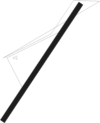
Great Malvern - Crumpton Oaks Farm
Airport details
| Country | United Kingdom |
| State | England |
| Region | |
| Airspace | London Ctr |
| Municipality | Herefordshire |
| Elevation | 311ft (95m) |
| Timezone | GMT +0 |
| Coordinates | 52.13215, -2.34563 |
| Magnetic var | |
| Type | land |
| Available since | X-Plane v11.50 |
| ICAO code | XEG002G |
| IATA code | n/a |
| FAA code | n/a |
Communication
Nearby Points of Interest:
Foley House
-Madresfield Court
-Malvern Hills
-Leigh Court Barn
-Malvern Wells War Memorial
-Holy Well, Malvern
-Hope End
-Whitbourne Hall
-Battle of Worcester
-Glover's Needle
-Guildhall
-Shire Hall
-Old St Bartholomew's Church, Lower Sapey
-Hindlip Hall
-Holt Castle
-Moreton Jeffries Church
-Woodbury Hill Camp
-Eckington Bridge
-Stoke Edith House
-Hellens Manor
-Abberley Hall
-Abberley Clock Tower
-Upham Meadow and Summer Leasow
-Old River Severn, Upper Lode
-Bredon Barn
Nearby beacons
| code | identifier | dist | bearing | frequency |
|---|---|---|---|---|
| GST | GLOUCESTERSHIRE NDB | 15.8 | 144° | 331 |
| SH | SHOBDON NDB | 20.7 | 282° | 426 |
| WBA | WOLVERHAMPTON NDB | 23.2 | 12° | 356 |
| WOL | DME | 23.2 | 12° | 108.60 |
| HON | HONILEY VOR/DME | 28.4 | 72° | 113.65 |
| BHX | BIRMINGHAM NDB | 29.1 | 61° | 406 |
| FFA | FAIRFORD TACAN | 33.8 | 129° | 113.40 |
| BZ | BRIZE NORTON NDB | 35.8 | 117° | 386 |
| BZN | BRIZE NORTON TACAN | 35.8 | 117° | 111.90 |
| OF | FILTON NDB | 37.8 | 202° | 325 |
| SWB | SHAWBURY VOR/DME | 41.6 | 335° | 116.80 |
| BCN | BRECON VOR/DME | 41.8 | 246° | 117.45 |
| WPL | WELSHPOOL NDB | 42 | 302° | 323 |
| TNL | TATENHILL NDB | 46.1 | 40° | 327 |
| BRI | BRISTOL NDB | 47.1 | 206° | 414 |
| EMW | EAST MIDLANDS NDB | 53 | 52° | 393 |
| CDF | CARDIFF NDB | 57.6 | 233° | 388 |
| TNT | TRENT VOR/DME | 60.6 | 36° | 115.70 |
| BDN | BOSCOMBE DOWN TACAN | 63 | 149° | 108.20 |
Disclaimer
The information on this website is not for real aviation. Use this data with the X-Plane flight simulator only! Data taken with kind consent from X-Plane 12 source code and data files. Content is subject to change without notice.
