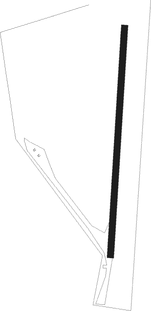
Charfield - Michaelwood
Airport details
| Country | United Kingdom |
| State | England |
| Region | |
| Airspace | London Ctr |
| Municipality | Stroud |
| Elevation | 180ft (55m) |
| Timezone | GMT +0 |
| Coordinates | 51.65458, -2.40815 |
| Magnetic var | |
| Type | land |
| Available since | X-Plane v10.40 |
| ICAO code | XEG002O |
| IATA code | n/a |
| FAA code | n/a |
Communication
Nearby Points of Interest:
Coombe Hill, Stroud
-Congregational Chapel
-Alderley House
-Stouts Hill
-Yarley Meadows
-Lower Woods
-Coaley Wood Quarries
-Owlpen Manor
-Kingscote Park
-Boxwell Court
-Midger
-Boxwell SSSI
-Lasborough Park
-Kingscote and Horsley Woods
-Clarke's Pool Meadow SSSI
-St Arild's Church, Oldbury-on-the-Hill
-The Gatehouse at Bonds Mill
-Frampton Pools
-Frampton Court
-Egypt Mill
-Woodchester Roman Villa
-Minchinhampton Common
-Badminton House
-Box Farm Meadows SSSI
-Wick Court
Nearby beacons
| code | identifier | dist | bearing | frequency |
|---|---|---|---|---|
| OF | FILTON NDB | 10.5 | 234° | 325 |
| GST | GLOUCESTERSHIRE NDB | 16.8 | 45° | 331 |
| BRI | BRISTOL NDB | 20 | 229° | 414 |
| FFA | FAIRFORD TACAN | 22.7 | 87° | 113.40 |
| BZN | BRIZE NORTON TACAN | 30.4 | 83° | 111.90 |
| BZ | BRIZE NORTON NDB | 30.5 | 83° | 386 |
| BCN | BRECON VOR/DME | 32.1 | 275° | 117.45 |
| CDF | CARDIFF NDB | 38.1 | 254° | 388 |
| BDN | BOSCOMBE DOWN TACAN | 39 | 128° | 108.20 |
| SH | SHOBDON NDB | 39.4 | 321° | 426 |
| VLN | YEOVILTON TACAN | 39.9 | 200° | 111 |
| YVL | DME | 43.8 | 199° | 109.05 |
| YVL | YEOVIL NDB | 43.9 | 200° | 343 |
| HON | HONILEY VOR/DME | 50.3 | 47° | 113.65 |
| WBA | WOLVERHAMPTON NDB | 52 | 10° | 356 |
| WOL | DME | 52 | 10° | 108.60 |
| BHX | BIRMINGHAM NDB | 53.8 | 39° | 406 |
| BIA | BOURNEMOUTH NDB | 56.8 | 147° | 339 |
| EX | EXETER NDB | 63.6 | 225° | 337 |
| WPL | WELSHPOOL NDB | 64.7 | 323° | 323 |
Disclaimer
The information on this website is not for real aviation. Use this data with the X-Plane flight simulator only! Data taken with kind consent from X-Plane 12 source code and data files. Content is subject to change without notice.