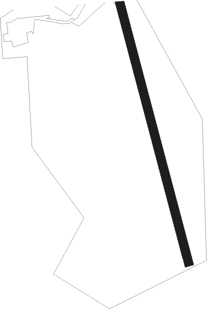
Long Preston - Pendle View Farm
Airport details
| Country | United Kingdom |
| State | England |
| Region | |
| Airspace | London Ctr |
| Municipality | Ribble Valley |
| Elevation | 645ft (197m) |
| Timezone | GMT +0 |
| Coordinates | 53.98764, -2.34592 |
| Magnetic var | |
| Type | land |
| Available since | X-Plane v10.40 |
| ICAO code | XEG002R |
| IATA code | n/a |
| FAA code | n/a |
Communication
Nearby beacons
| code | identifier | dist | bearing | frequency |
|---|---|---|---|---|
| POL | POLE HILL VOR/DME | 16.9 | 135° | 112.10 |
| WTN | WARTON NDB | 22.8 | 245° | 337 |
| WTN | WARTON TACAN | 24.1 | 245° | 113.20 |
| LBA | LEEDS BRADFORD NDB | 25.5 | 100° | 402 |
| BPL | BLACKPOOL NDB | 27.3 | 253° | 318 |
| WL | BARROW (WALNEY ISLAND) NDB | 33.4 | 279° | 385 |
| LEE | LEEMING TACAN | 33.9 | 69° | 112.60 |
| MCT | MANCHESTER VOR/DME | 37.9 | 172° | 113.55 |
| LPL | LIVERPOOL NDB | 41.1 | 210° | 349 |
| DUF | DUN FELL DME | 41.9 | 351° | 115.25 |
| WAL | WALLASEY VOR/DME | 45.4 | 233° | 114.10 |
| WHI | WHITEGATE NDB | 49.2 | 199° | 368 |
| HAW | HAWARDEN NDB | 53.5 | 218° | 340 |
| DCS | CROSS DME | 56.1 | 306° | 115.20 |
| TNT | TRENT VOR/DME | 61 | 144° | 115.70 |
Disclaimer
The information on this website is not for real aviation. Use this data with the X-Plane flight simulator only! Data taken with kind consent from X-Plane 12 source code and data files. Content is subject to change without notice.
