Llanrhaeadr-ym-mochnant - Pencraig
Airport details
| Country | United Kingdom |
| State | Wales |
| Region | |
| Airspace | London Ctr |
| Municipality | Powys |
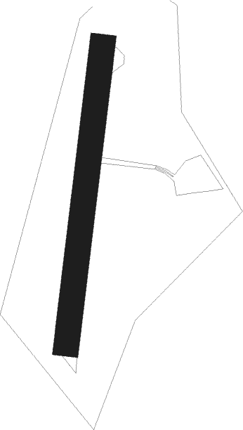
| Elevation | 725ft (221m) |
| Timezone | GMT +0 |
| Coordinates | 52.83227, -3.42064 |
| Magnetic var | |
| Type | land |
| Available since | X-Plane v10.40 |
| ICAO code | XEG003M |
| IATA code | n/a |
| FAA code | n/a |
Communication
Nearby Points of Interest:
Rhos-y-Beddau Stone Circle, Avenue and Cairn
-Capel Seion
-Pale Hall
-Glas Hirfryn
-Berwyn range
-Snowdonia National Park
-St Cedwyn's Church
-Christ Church, Bala
-St Beuno's Church
-Gwerclas
-Welsh Presbyterian Theological College
-Bala Lake
-Hen Capel John Hughes
-Afon Tryweryn
-River Dee
-Tŷ Newydd
-Penarth Quarry
-Churchyard Cross, High Street (s Side)
-SS Mael and Sulien's Church, Corwen
-Parish Church Of St Tysilio And St Mary
-Owain Glyndŵr's Mount
-St Mary's Church
-Bwrdd Y Tri Arglwydd
-Coedydd Dyffryn Alwen
-Holy Trinity Church, Penrhos
Nearby beacons
| code | identifier | dist | bearing | frequency |
|---|---|---|---|---|
| WPL | WELSHPOOL NDB | 15.5 | 127° | 323 |
| HAW | HAWARDEN NDB | 26.2 | 52° | 340 |
| SWB | SHAWBURY VOR/DME | 27.6 | 93° | 116.80 |
| WAL | WALLASEY VOR/DME | 35.1 | 27° | 114.10 |
| WHI | WHITEGATE NDB | 35.7 | 66° | 368 |
| LPL | LIVERPOOL NDB | 39.4 | 54° | 349 |
| SH | SHOBDON NDB | 40.5 | 137° | 426 |
| WTN | WARTON TACAN | 57.9 | 30° | 113.20 |
| BPL | BLACKPOOL NDB | 58.2 | 23° | 318 |
| WTN | WARTON NDB | 58.8 | 32° | 337 |
Disclaimer
The information on this website is not for real aviation. Use this data with the X-Plane flight simulator only! Data taken with kind consent from X-Plane 12 source code and data files. Content is subject to change without notice.