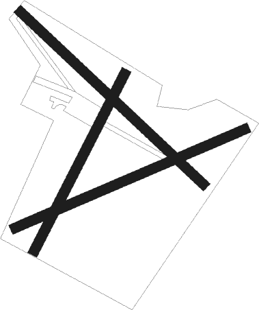
Longframlington - Athey's Moor
Airport details
| Country | United Kingdom |
| State | England |
| Region | |
| Airspace | Scottish Ctr |
| Municipality | Northumberland |
| Elevation | 402ft (123m) |
| Timezone | GMT +0 |
| Coordinates | 55.31965, -1.78828 |
| Magnetic var | |
| Type | land |
| Available since | X-Plane v11.55 |
| ICAO code | XEG004L |
| IATA code | n/a |
| FAA code | n/a |
Communication
Nearby Points of Interest:
Nelson Memorial
-Brinkburn Mill
-Hydraulic Silo Building 70 Metres East Of Cragend Farmhouse
-The Old Mill With Attached Wall To North West
-Prehistoric rock art and Runic inscription in Lemmington Wood
-Lemmington Hall
-Causey Park House
-Warkworth Station
-Callaly Castle
-Nunnykirk Hall
-Alnwick railway station
-Town Hall
-The Hotspur Gateway Or Bondgate Tower
-27, Fenkle Street
-white swan cottage
-Alnwick Abbey
-Shawdon Hall
-Netherwitton Hall
-Eslington Park
-Alnmouth Saltmarsh and Dunes
-Hedgeley Hall
-Eglingham Hall
-Hartburn War Memorial
-Mitford Old Manor House
-Meldon Park
Nearby beacons
| code | identifier | dist | bearing | frequency |
|---|---|---|---|---|
| NT | NEWCASTLE NDB | 16.9 | 152° | 352 |
| NEW | DME | 17.1 | 162° | 114.25 |
| SAB | SAINT ABBS VOR/DME | 38 | 325° | 112.50 |
| DUF | DUN FELL DME | 44.5 | 226° | 115.25 |
| TD | TEESSIDE INTL NDB | 48.2 | 149° | 347 |
Disclaimer
The information on this website is not for real aviation. Use this data with the X-Plane flight simulator only! Data taken with kind consent from X-Plane 12 source code and data files. Content is subject to change without notice.

