Airport details
| Country | United Kingdom |
| State | Scotland |
| Region | |
| Airspace | Scottish Ctr |
| Municipality | Aberdeenshire |
| Elevation | 164ft (50m) |
| Timezone | GMT +0 |
| Coordinates | 57.51717, -1.86873 |
| Magnetic var | |
| Type | land |
| Available since | X-Plane v10.40 |
| ICAO code | XEG004R |
| IATA code | n/a |
| FAA code | n/a |
Communication
| Longside Longside Radio | 118.280 |
Nearby Points of Interest:
Inverugie, Balmoor Bridge
- Peterhead, South Road, Old St Peter's Church
- Peterhead, Broad Street, Town House
- Peterhead, Broad Street, Statue Of Field Marshall Keith
- Peterhead, Bath Street, Bath House
- Hall, St Peter's Episcopal Church, Merchant Street, Peterhead
- Peterhead, 59 Broad Street
- Peterhead, 1 Harbour Street, Harbour Garage
- Sandford Lodge
- Berrybrae
- Crimonmogate House
- Crimonmogate
- Cairness House
- Strichen, High Street, Town Hall
- Inverallochy Castle
- Memsie House
- Memsie Cairn
- Auchmacoy, Dovecot
- Fedderate Castle
- Nether Ardgrain
- Ellon Castle
- Ellon, River Ythan, Old Bridge Of Ellon
- Fraserburgh, Broad Street, Custom House
- Ellon, South Road, St Mary's Church
- Fraserburgh, Saltoun Square, Market Cross
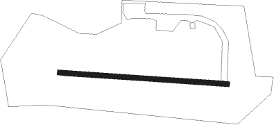
Runway info
| Runway 10 / 28 |
|
| | length | 500m (1640ft) |
| | bearing | 94° / 274° |
| | width | 15m (49ft) |
| | surface | concrete |
Airport layout
Taxiway locations
Parking locations