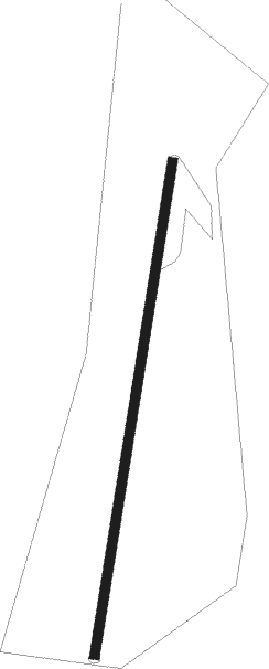
Thruxton - Allensmore
Airport details
| Country | United Kingdom |
| State | England |
| Region | |
| Airspace | London Ctr |
| Municipality | Kilpeck |
| Elevation | 282ft (86m) |
| Timezone | GMT +0 |
| Coordinates | 51.98775, -2.78265 |
| Magnetic var | |
| Type | land |
| Available since | X-Plane v10.30 |
| ICAO code | XEG3AL |
| IATA code | n/a |
| FAA code | n/a |
Communication
Nearby Points of Interest:
The Mynde
-Belmont Abbey, Herefordshire
-Pontrilas Court
-Town Hall
-Treago Castle
-Shire Hall
-Great House Farm
-Upper Dyffryn House
-Howell's House
-Glyndwr Including Railed Forecourt
-Town Farm
-Lower Dyffryn House
-Great Tresenny Farmhouse
-Llancillo Church
-Norton Court
-Longworth Roman Catholic Chapel
-Brinsop Court
-Hilston Park
-Lower Celliau
-Trivor Farmhouse (aka Tre-ivor)
-Moccas Court
-Upper Green
-Hill Court Manor
-Stoke Edith House
-Yatton Chapel
Nearby beacons
| code | identifier | dist | bearing | frequency |
|---|---|---|---|---|
| SH | SHOBDON NDB | 15.7 | 339° | 426 |
| GST | GLOUCESTERSHIRE NDB | 23.4 | 99° | 331 |
| BCN | BRECON VOR/DME | 23.7 | 241° | 117.45 |
| OF | FILTON NDB | 28.9 | 158° | 325 |
| BRI | BRISTOL NDB | 36.4 | 174° | 414 |
| WBA | WOLVERHAMPTON NDB | 37 | 45° | 356 |
| WOL | DME | 37 | 45° | 108.60 |
| FFA | FAIRFORD TACAN | 40.9 | 107° | 113.40 |
| WPL | WELSHPOOL NDB | 40.9 | 330° | 323 |
| CDF | CARDIFF NDB | 41.2 | 223° | 388 |
| SWB | SHAWBURY VOR/DME | 48.8 | 8° | 116.80 |
| VLN | YEOVILTON TACAN | 59.2 | 172° | 111 |
Disclaimer
The information on this website is not for real aviation. Use this data with the X-Plane flight simulator only! Data taken with kind consent from X-Plane 12 source code and data files. Content is subject to change without notice.
