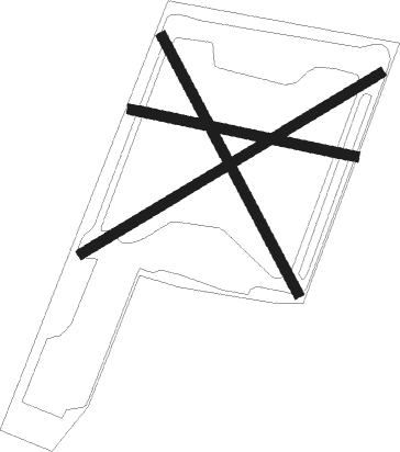
Penkridge - Otherton
Airport details
| Country | United Kingdom |
| State | England |
| Region | |
| Airspace | London Ctr |
| Municipality | South Staffordshire |
| Elevation | 340ft (104m) |
| Timezone | GMT +0 |
| Coordinates | 52.71020, -2.09374 |
| Magnetic var | |
| Type | land |
| Available since | X-Plane v10.40 |
| ICAO code | XEG3OT |
| IATA code | n/a |
| FAA code | n/a |
Communication
Nearby Points of Interest:
Pillaton Hall
-Stretton Hall, Staffordshire
-Somerford Hall
-Cannock Chase German Military Cemetery
-Stretton Aqueduct
-Cannock Chase
-Hilton Hall
-Brocton Hall
-Milford Hall
-Chillington Hall
-Mottey Meadows
-Black Ladies Priory
-Shugborough Tunnel
-William Salt Library
-County Buildings and Judges House
-Borough Hall
-Tixall Gatehouse
-St George's Hospital
-Gentleshaw Common
-Beaudesert
-Ingestre Hall
-Wolverhampton Low Level railway station
-Battle of Hopton Heath
-Chubb Locks
-Catholic Church of St Peter and St Paul
Nearby beacons
| code | identifier | dist | bearing | frequency |
|---|---|---|---|---|
| WBA | WOLVERHAMPTON NDB | 13.1 | 221° | 356 |
| WOL | DME | 13.1 | 221° | 108.60 |
| TNL | TATENHILL NDB | 13.4 | 72° | 327 |
| BHX | BIRMINGHAM NDB | 19.7 | 127° | 406 |
| SWB | SHAWBURY VOR/DME | 21.3 | 279° | 116.80 |
| EMW | EAST MIDLANDS NDB | 24.2 | 80° | 393 |
| TNT | TRENT VOR/DME | 25.7 | 51° | 115.70 |
| HON | HONILEY VOR/DME | 26.4 | 129° | 113.65 |
| EME | EAST MIDLANDS NDB | 33.4 | 82° | 353 |
| WHI | WHITEGATE NDB | 34.3 | 312° | 368 |
| MCT | MANCHESTER VOR/DME | 39.3 | 345° | 113.55 |
| SH | SHOBDON NDB | 40.1 | 239° | 426 |
| HAW | HAWARDEN NDB | 42.6 | 298° | 340 |
| LPL | LIVERPOOL NDB | 44.1 | 315° | 349 |
| DTY | DAVENTRY VOR/DME | 47.9 | 118° | 116.40 |
| GST | GLOUCESTERSHIRE NDB | 49.2 | 185° | 331 |
| OX | OXFORD NDB | 59.7 | 139° | 367 |
| BZ | BRIZE NORTON NDB | 60.4 | 153° | 386 |
| BZN | BRIZE NORTON TACAN | 60.5 | 153° | 111.90 |
Disclaimer
The information on this website is not for real aviation. Use this data with the X-Plane flight simulator only! Data taken with kind consent from X-Plane 12 source code and data files. Content is subject to change without notice.

