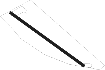
Usk - Kemeys Commander
Airport details
| Country | United Kingdom |
| State | Wales |
| Region | |
| Airspace | London Ctr |
| Municipality | Monmouthshire |
| Elevation | 133ft (41m) |
| Timezone | GMT +0 |
| Coordinates | 51.73635, -2.93752 |
| Magnetic var | |
| Type | land |
| Available since | X-Plane v10.40 |
| ICAO code | XEG7KC |
| IATA code | n/a |
| FAA code | n/a |
Communication
Nearby beacons
| code | identifier | dist | bearing | frequency |
|---|---|---|---|---|
| BCN | BRECON VOR/DME | 12.1 | 268° | 117.45 |
| OF | FILTON NDB | 18.2 | 122° | 325 |
| BRI | BRISTOL NDB | 22.8 | 148° | 414 |
| CDF | CARDIFF NDB | 25.4 | 229° | 388 |
| GST | GLOUCESTERSHIRE NDB | 30 | 79° | 331 |
| SH | SHOBDON NDB | 30.5 | 6° | 426 |
| VLN | YEOVILTON TACAN | 45.3 | 158° | 111 |
| YVL | YEOVIL NDB | 48.8 | 161° | 343 |
| YVL | DME | 48.9 | 160° | 109.05 |
| WBA | WOLVERHAMPTON NDB | 53 | 41° | 356 |
| WOL | DME | 53 | 41° | 108.60 |
| WPL | WELSHPOOL NDB | 54.2 | 346° | 323 |
| EX | EXETER NDB | 60.6 | 200° | 337 |
Disclaimer
The information on this website is not for real aviation. Use this data with the X-Plane flight simulator only! Data taken with kind consent from X-Plane 12 source code and data files. Content is subject to change without notice.
