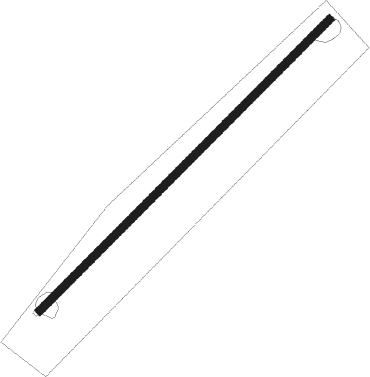
Goldcliff - Upfield Farm
Airport details
| Country | United Kingdom |
| State | Wales |
| Region | |
| Airspace | London Ctr |
| Municipality | Newport |
| Elevation | 16ft (5m) |
| Timezone | GMT +0 |
| Coordinates | 51.55000, -2.89883 |
| Magnetic var | |
| Type | land |
| Available since | X-Plane v10.40 |
| ICAO code | XEG7UF |
| IATA code | n/a |
| FAA code | n/a |
Communication
Nearby Points of Interest:
Newport Wetlands
-St Thomas's Church
-Magor Mansion (also Known As The Procurator's House)
-St Mary's Church
-Somerton TARDIS
-Pencoed Castle
-Former Drill Hall
-The NEON
-Newport Technical Institute
-Shire Hall, Newport
-St Michael and All Angels Church, Llanfihangel Rogiet
-Newport Civic Centre
-Church of St Mary, Rogiet
-Stable Block Including Orangery
-Dewstow House
-Walton Common
-Nightingale Valley
-Portishead Pier to Black Nore SSSI
-St Peter's Church
-Church Farmhouse
-Walton Castle
-Churchyard cross at the Church of Saint Michael and All Angels
-Holly Lane SSSI
-Severn Estuary
-Weston-in-Gordano SSSI
Nearby beacons
| code | identifier | dist | bearing | frequency |
|---|---|---|---|---|
| OF | FILTON NDB | 11.6 | 95° | 325 |
| BRI | BRISTOL NDB | 12.1 | 133° | 414 |
| BCN | BRECON VOR/DME | 17.1 | 296° | 117.45 |
| CDF | CARDIFF NDB | 18.9 | 250° | 388 |
| GST | GLOUCESTERSHIRE NDB | 34 | 65° | 331 |
| VLN | YEOVILTON TACAN | 34.1 | 154° | 111 |
| YVL | YEOVIL NDB | 37.6 | 159° | 343 |
| YVL | DME | 37.7 | 158° | 109.05 |
| SH | SHOBDON NDB | 41.6 | 2° | 426 |
| EX | EXETER NDB | 50.1 | 206° | 337 |
| WOL | DME | 62.5 | 33° | 108.60 |
| WBA | WOLVERHAMPTON NDB | 62.6 | 33° | 356 |
Disclaimer
The information on this website is not for real aviation. Use this data with the X-Plane flight simulator only! Data taken with kind consent from X-Plane 12 source code and data files. Content is subject to change without notice.
