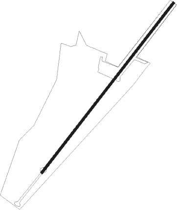
Wychbold - Droitwich
Airport details
| Country | United Kingdom |
| State | England |
| Region | |
| Airspace | London Ctr |
| Municipality | Wychavon |
| Elevation | 146ft (45m) |
| Timezone | GMT +0 |
| Coordinates | 52.28640, -2.13799 |
| Magnetic var | |
| Type | land |
| Available since | X-Plane v10.40 |
| ICAO code | XEG9DR |
| IATA code | n/a |
| FAA code | n/a |
Communication
Nearby Points of Interest:
Town Hall
-Westwood House
-Badge Court
-Hindlip Hall
-Holt Castle
-Huddington Court
-Tardebigge Engine House
-Norgrove Court
-Hewell Grange
-Astley Hall
-Pool House, Worcestershire
-Shire Hall
-Guildhall
-Glover's Needle
-Battle of Worcester
-The Town Hall
-Ribbesford House
-Abberton Hall
-Castle in Hagley Park
-Bewdley Bridge
-Woodbury Hill Camp
-Abberley Hall
-Abberley Clock Tower
-Wychbury Ring
-Cookhill Priory
Nearby beacons
| code | identifier | dist | bearing | frequency |
|---|---|---|---|---|
| WBA | WOLVERHAMPTON NDB | 14.5 | 332° | 356 |
| WOL | DME | 14.5 | 332° | 108.60 |
| BHX | BIRMINGHAM NDB | 17.3 | 66° | 406 |
| HON | HONILEY VOR/DME | 17.9 | 82° | 113.65 |
| GST | GLOUCESTERSHIRE NDB | 23.7 | 184° | 331 |
| SH | SHOBDON NDB | 27.3 | 267° | 426 |
| TNL | TATENHILL NDB | 34.5 | 35° | 327 |
| SWB | SHAWBURY VOR/DME | 36.2 | 314° | 116.80 |
| BZ | BRIZE NORTON NDB | 37.8 | 135° | 386 |
| BZN | BRIZE NORTON TACAN | 37.8 | 135° | 111.90 |
| FFA | FAIRFORD TACAN | 38.4 | 151° | 113.40 |
| OX | OXFORD NDB | 40.5 | 119° | 367 |
| EMW | EAST MIDLANDS NDB | 41 | 52° | 393 |
| EME | EAST MIDLANDS NDB | 47.5 | 60° | 353 |
| OF | FILTON NDB | 48.9 | 211° | 325 |
| TNT | TRENT VOR/DME | 49.1 | 31° | 115.70 |
| WHI | WHITEGATE NDB | 56.7 | 332° | 368 |
| BRI | BRISTOL NDB | 58.4 | 213° | 414 |
| CPT | COMPTON VOR/DME | 58.6 | 131° | 114.35 |
| HAW | HAWARDEN NDB | 61.7 | 317° | 340 |
Disclaimer
The information on this website is not for real aviation. Use this data with the X-Plane flight simulator only! Data taken with kind consent from X-Plane 12 source code and data files. Content is subject to change without notice.
