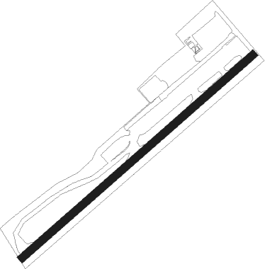
Grainthorpe - North Coates
Airport details
| Country | United Kingdom |
| State | England |
| Region | |
| Airspace | London Ctr |
| Municipality | East Lindsey |
| Elevation | 9ft (3m) |
| Timezone | GMT +0 |
| Coordinates | 53.50013, 0.06591 |
| Magnetic var | |
| Type | land |
| Available since | X-Plane v10.40 |
| ICAO code | XEGYO |
| IATA code | n/a |
| FAA code | n/a |
Communication
| North Coates North Coates Radio | 120.150 |
Nearby Points of Interest:
Council House
-Spurn Point Low Light
-Town Hall
-Grimsby Ice Factory
-Grimsby Dock Tower
-Church of St Helen
-Louth railway station
-All Saints Church, Theddlethorpe
-Lincolnshire Wolds
-Bowl barrow cemetery on Bully Hill
-Grim’s Mound
-Killingholme South Low Lighthouse
-Killingholme High Lighthouse
-Killingholme North Low Lighthouse
-Brocklesby railway station
-Somersby Grange
-Thorngumbald Clough High Lighthouse
-Thorngumbald Clough Low Lighthouse
-Paull Lighthouse
-St Mary's Church, Barnetby
-thornton hunt inn
-Kingerby Castle
-St Michael's Church, Buslingthorpe
-Hanby Hall
Nearby beacons
| code | identifier | dist | bearing | frequency |
|---|---|---|---|---|
| OTR | OTTRINGHAM VOR/DME | 13.3 | 319° | 113.90 |
| KIM | HUMBERSIDE NDB | 15.6 | 280° | 365 |
| CGY | CONINGSBY TACAN | 25.9 | 210° | 111.10 |
| WAD | WADDINGTON TACAN | 29.2 | 241° | 117.10 |
| CWZ | CRANWELL TACAN | 34.5 | 229° | 117.40 |
| CWL | CRANWELL NDB | 34.7 | 230° | 423 |
| FNY | DONCASTER SHEFFIELD NDB | 38.1 | 269° | 338 |
| GAM | GAMSTON VOR/DME | 38.5 | 258° | 112.80 |
| MAM | MARHAM TACAN | 54.2 | 150° | 108.70 |
| WIT | WITTERING TACAN | 57.3 | 212° | 117.60 |
| LE | LEICESTER NDB | 66.7 | 231° | 383 |
Disclaimer
The information on this website is not for real aviation. Use this data with the X-Plane flight simulator only! Data taken with kind consent from X-Plane 12 source code and data files. Content is subject to change without notice.