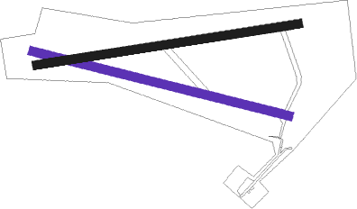
Venlo - Venlo Eindhoven Zweefvliegclub
Airport details
| Country | Netherlands |
| State | Limburg |
| Region | |
| Airspace | Amsterdam Ctr |
| Municipality | Venlo |
| Elevation | 141ft (43m) |
| Timezone | GMT +1 |
| Coordinates | 51.36369, 6.21684 |
| Magnetic var | |
| Type | land |
| Available since | X-Plane v10.40 |
| ICAO code | XEH000B |
| IATA code | n/a |
| FAA code | n/a |
Communication
| Venlo Eindhoven Zweefvliegclub Venlo Gliding | 122.480 |
Nearby beacons
| code | identifier | dist | bearing | frequency |
|---|---|---|---|---|
| LMA | LIMA NDB | 6.6 | 88° | 311 |
| MHV | MOENCHENGLADBACH VOR | 12.7 | 115° | 109.80 |
| MHD | DME | 12.9 | 115° | 112.50 |
| LAA | NIEDERRHEIN NDB | 14.3 | 349° | 352 |
| NID | DME | 14.4 | 342° | 115.50 |
| DY | DUESSELDORF NDB | 18.1 | 106° | 284 |
| DUS | DUESSELDORF VOR/DME | 20.7 | 99° | 115.15 |
| NW | MAASTRICHT NDB | 24.2 | 225° | 373 |
| GIX | GEILENKIRCHEN TACAN | 24.8 | 203° | 108.10 |
| LI | DUESSELDORF NDB | 25.3 | 91° | 417 |
| MAS | MAASTRICHT VOR/DME | 25.4 | 213° | 108.60 |
| VKL | VOLKEL TACAN | 25.8 | 300° | 108.30 |
| BBL | KLEINE BROGEL TACAN | 30.6 | 255° | 109.60 |
| EHV | EINDHOVEN TACAN | 31.9 | 276° | 117.20 |
| BOT | BOTTROP NDB | 32.9 | 75° | 406 |
| BAM | BARMEN VOR/DME | 36 | 92° | 114 |
| WNN | DME | 36 | 139° | 109.85 |
| NVO | NOERVENICH VORTAC | 36.1 | 142° | 116.20 |
| LJ | COLOGNE-BONN NDB | 41.2 | 117° | 365 |
| DLN | DEELEN TACAN | 43.5 | 334° | 112.20 |
| KBO | COLOGNE-BONN VOR/DME | 46.2 | 118° | 112.15 |
| ONL | LIEGE NDB | 47.1 | 225° | 290 |
| LNO | OLNO VOR/DME | 50.4 | 213° | 112.80 |
| RKN | DME | 50.4 | 35° | 116.80 |
| LGE | LIEGE VOR/DME | 51.1 | 226° | 115.45 |
| SLV | SPA NDB | 54.4 | 199° | 386 |
| SPI | SPRIMONT VOR/DME | 55.7 | 215° | 113.10 |
Disclaimer
The information on this website is not for real aviation. Use this data with the X-Plane flight simulator only! Data taken with kind consent from X-Plane 12 source code and data files. Content is subject to change without notice.

