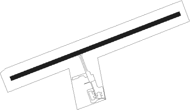
Holstebro - Lindtorp
Airport details
| Country | Denmark |
| State | Central Denmark Region |
| Region | EK |
| Airspace | Copenhagen Ctr |
| Municipality | Struer Municipality |
| Elevation | 47ft (14m) |
| Timezone | GMT +1 |
| Coordinates | 56.39652, 8.44204 |
| Magnetic var | |
| Type | land |
| Available since | X-Plane v10.40 |
| ICAO code | XEK0001 |
| IATA code | n/a |
| FAA code | n/a |
Communication
| Lindtorp Lindtorp radio | 122.500 |
| Lindtorp Karup Approach | 120.425 |
Nearby Points of Interest:
Tvis Abbey
-Hurup Stone
Nearby beacons
| code | identifier | dist | bearing | frequency |
|---|---|---|---|---|
| RAM | DME | 9.7 | 288° | 111.85 |
| KAR | KARUP TACAN | 19.7 | 100° | 110 |
| LME | DME | 24.4 | 192° | 115.35 |
| VJ | STAUNING NDB | 24.5 | 182° | 328 |
| AU | STAUNING NDB | 24.7 | 197° | 346 |
| EJ | ESBJERG NDB | 52 | 163° | 400 |
| ESE | DME | 52.6 | 172° | 116.60 |
| HP | ESBJERG NDB | 53.1 | 182° | 376 |
| KD | KOLDING NDB | 64.6 | 137° | 357 |
| VAM | DME | 64.9 | 137° | 110.05 |
Disclaimer
The information on this website is not for real aviation. Use this data with the X-Plane flight simulator only! Data taken with kind consent from X-Plane 12 source code and data files. Content is subject to change without notice.