Nærbø - Skeie
Airport details
| Country | Norway |
| State | [Other] |
| Region | |
| Airspace | Polaris Ctr |
| Municipality | Klepp |
| Elevation | 7ft (2m) |
| Timezone | GMT +1 |
| Coordinates | 58.69812, 5.54275 |
| Magnetic var | |
| Type | land |
| Available since | X-Plane v10.40 |
| ICAO code | XEN000F |
| IATA code | n/a |
| FAA code | n/a |
Communication
Nearby Points of Interest:
Varhaug gamle kirkegård
-Feistein Lighthouse
-Runenstein von Helland
-Ræge kapell
-Norwegian Runic Inscription 239
-Old Ålgård Church
-Sviland Church
-Haugvaldstadminne 8
-Engels minde
-Kongsgård, Stavanger
-Mariakirken
-Runenstein der Mariakirken
-Øvre Strandgate 60, Stavanger
-Norges Bank, Stavanger
-Konsul Frederik Hansens hus
-Gamle Tollbod, Stavanger
-Tollboden
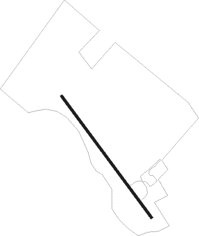
Runway info
| Runway 14 / 32 | ||
| length | 575m (1886ft) | |
| bearing | 130° / 310° | |
| width | 10m (33ft) | |
| surface | grass | |
Nearby beacons
| code | identifier | dist | bearing | frequency |
|---|---|---|---|---|
| SOA | SOLA TACAN | 11 | 28° | 112.25 |
| ZOL | SOLA VOR/DME | 11 | 29° | 116.85 |
| KRM | KARMOY (HAUGESUND) VOR/DME | 40.3 | 332° | 115.15 |
Disclaimer
The information on this website is not for real aviation. Use this data with the X-Plane flight simulator only! Data taken with kind consent from X-Plane 12 source code and data files. Content is subject to change without notice.