Sylling
Airport details
| Country | Norway |
| State | [Other] |
| Region | |
| Airspace | Polaris Ctr |
| Municipality | Lier |
| Elevation | 395ft (120m) |
| Timezone | GMT +1 |
| Coordinates | 59.88583, 10.27905 |
| Magnetic var | |
| Type | land |
| Available since | X-Plane v10.40 |
| ICAO code | XEN000N |
| IATA code | n/a |
| FAA code | n/a |
Communication
Nearby Points of Interest:
Vardåsen tuberkulosesanatorium
-Skuibakken
-Dikemark
-Labråten
-Vøyen gård
-Frogner prestegård
-Bærum hospital
-Malmskrivergården
-Værtshuset Bærums Verk
-Gråmagan
-Bacheparken
-Heggen prestegård
-Norges Bank (Drammen)
-Slemmestad kirke
-Børneasylet, Drammen
-Vike kirkeruin
-Ringstabekk
-Krokkleiva
-Krøderen Line
-Munkebakken, Bærum
-Lilleaker
-Villa Ditlev-Simonsen
-Vækerøveien 24, Oslo
-Søndre Langåra tåkeklokke
-Buskerud Manor
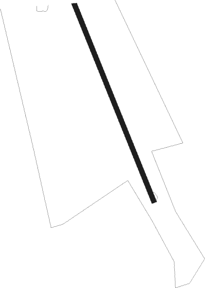
Runway info
| Runway 16 / 34 | ||
| length | 392m (1286ft) | |
| bearing | 148° / 328° | |
| width | 8m (26ft) | |
| surface | grass | |
Nearby beacons
| code | identifier | dist | bearing | frequency |
|---|---|---|---|---|
| SIG | SIGDAL VOR/DME | 21 | 281° | 117.70 |
| GRM | GARDERMOEN VOR/DME | 30.1 | 69° | 115.95 |
| RYG | RYGGE TACAN | 34.9 | 134° | 113.50 |
| YG | ENGE NDB | 35.2 | 133° | 396 |
| RG | TUNE (MOSS) NDB | 40.2 | 128° | 381 |
| NLK | DME | 41.1 | 50° | 115.60 |
| TOR | TORP VOR/DME | 43 | 182° | 113.85 |
| HAA | HAMAR NDB | 60.6 | 40° | 371 |
Disclaimer
The information on this website is not for real aviation. Use this data with the X-Plane flight simulator only! Data taken with kind consent from X-Plane 12 source code and data files. Content is subject to change without notice.