Hellvik - Ege Egersund
Airport details
| Country | Norway |
| State | [Other] |
| Region | |
| Airspace | Polaris Ctr |
| Municipality | Eigersund |
| Elevation | 441ft (134m) |
| Timezone | GMT +1 |
| Coordinates | 58.50965, 5.96125 |
| Magnetic var | |
| Type | land |
| Available since | X-Plane v10.40 |
| ICAO code | XEN000O |
| IATA code | n/a |
| FAA code | n/a |
Communication
Nearby Points of Interest:
Varhaug gamle kirkegård
-Strandgaten 16
-Old Ålgård Church
-Sviland Church
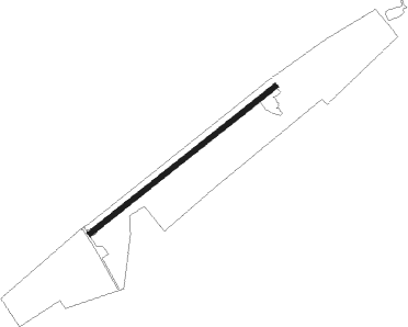
Runway info
| Runway 07 / 25 | ||
| length | 470m (1542ft) | |
| bearing | 71° / 251° | |
| width | 10m (33ft) | |
| surface | grass | |
Nearby beacons
| code | identifier | dist | bearing | frequency |
|---|---|---|---|---|
| ZOL | SOLA VOR/DME | 24.1 | 319° | 116.85 |
| SOA | SOLA TACAN | 24.2 | 318° | 112.25 |
| LST | LISTA TACAN | 32.2 | 122° | 109.30 |
| KRM | KARMOY (HAUGESUND) VOR/DME | 55.5 | 318° | 115.15 |
Disclaimer
The information on this website is not for real aviation. Use this data with the X-Plane flight simulator only! Data taken with kind consent from X-Plane 12 source code and data files. Content is subject to change without notice.