Hurdal - Feiring Airfield
Airport details
| Country | Norway |
| State | [Other] |
| Region | |
| Airspace | Polaris Ctr |
| Municipality | Eidsvoll |
| Elevation | 438ft (134m) |
| Timezone | GMT +1 |
| Coordinates | 60.51415, 11.18787 |
| Magnetic var | |
| Type | land |
| Available since | X-Plane v10.40 |
| ICAO code | XEN000Q |
| IATA code | n/a |
| FAA code | n/a |
Communication
Nearby Points of Interest:
Hagajordet
-Hurdal parsonage
-Kraby
-Rogneby
-Billerud
-Kapp Melkefabrikk
-Åkervika
-Åker farm
-Sagatun Folk High School
-Rokoberget kirkeruin
-Vigsteinen
-Hamar Airport
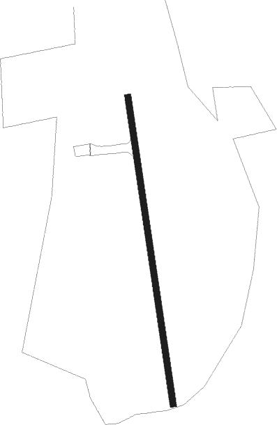
Runway info
| Runway 17 / 35 | ||
| length | 484m (1588ft) | |
| bearing | 172° / 352° | |
| width | 10m (33ft) | |
| surface | grass | |
Nearby beacons
| code | identifier | dist | bearing | frequency |
|---|---|---|---|---|
| NLK | DME | 6.4 | 259° | 115.60 |
| ERB | DME | 17.5 | 123° | 116.25 |
| BLA | DME | 18 | 75° | 115.20 |
| HAA | HAMAR NDB | 18.5 | 339° | 371 |
| GRM | GARDERMOEN VOR/DME | 19.6 | 199° | 115.95 |
| MES | MESNALI VOR/DME | 38.6 | 317° | 114.40 |
Disclaimer
The information on this website is not for real aviation. Use this data with the X-Plane flight simulator only! Data taken with kind consent from X-Plane 12 source code and data files. Content is subject to change without notice.