Mysen - Eidsberg Mysen
Airport details
| Country | Norway |
| State | [Other] |
| Region | |
| Airspace | Polaris Ctr |
| Municipality | Indre Østfold |
| Elevation | 242ft (74m) |
| Timezone | GMT +1 |
| Coordinates | 59.53558, 11.24378 |
| Magnetic var | |
| Type | land |
| Available since | X-Plane v10.40 |
| ICAO code | XEN000Y |
| IATA code | n/a |
| FAA code | n/a |
Communication
Nearby Points of Interest:
Tenor kirkeruin
-Fort Høytorp
-Trømborg Church
-Skiptvet Parsonage
-Os Church
-Spydeberg rectory
-Spydeberg Church
-Hovin Church
-Rakkestad Parsonage
-Bjerkelunden
-Basmo Fortress
-Hobøl parsonage
-Rødenes Parsonage
-Klund Church
-Hemnes gamle kirkegård
-Søndre Høland Church
-Kråkstad Church
-Kråkstad prestegård
-Tune stone
-Hafslund Manor
-Borregaard hovedgård
-Ski magasinplass
-Rygge Air Station
-Töcksmarks socken
-Hvitsten Church
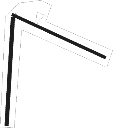
Runway info
Runway 11 / 29  | ||
| length | 261m (856ft) | |
| bearing | 106° / 286° | |
| width | 8m (26ft) | |
| surface | grass | |
| Runway 01 / 19 | ||
| length | 272m (892ft) | |
| bearing | 15° / 195° | |
| width | 10m (33ft) | |
| surface | grass | |
Nearby beacons
| code | identifier | dist | bearing | frequency |
|---|---|---|---|---|
| RG | TUNE (MOSS) NDB | 14.6 | 229° | 381 |
| YG | ENGE NDB | 16.1 | 248° | 396 |
| RYG | RYGGE TACAN | 16.5 | 249° | 113.50 |
| TOR | TORP VOR/DME | 37.3 | 250° | 113.85 |
| GRM | GARDERMOEN VOR/DME | 39.7 | 346° | 115.95 |
| ERB | DME | 45.7 | 22° | 116.25 |
| NLK | DME | 56.9 | 345° | 115.60 |
Disclaimer
The information on this website is not for real aviation. Use this data with the X-Plane flight simulator only! Data taken with kind consent from X-Plane 12 source code and data files. Content is subject to change without notice.