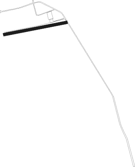
Bjärred - Vindfälle
Airport details
| Country | Sweden |
| State | [Other] |
| Region | |
| Airspace | Sweden Ctr |
| Municipality | Lomma kommun |
| Elevation | 46ft (14m) |
| Timezone | GMT +1 |
| Coordinates | 55.72377, 13.10477 |
| Magnetic var | |
| Type | land |
| Available since | X-Plane v10.40 |
| ICAO code | XESM10 |
| IATA code | n/a |
| FAA code | n/a |
Communication
Nearby Points of Interest:
Fjelie socken
-Flädie socken
-Norra Nöbbelövs socken
-Lomma socken
-Vallkärra socken
-Stävie socken
-Borgeby socken
-Lackalänga socken
-Högs parish, Skåne
-Kjederquistska gården
-Ekska huset
-Bredgatan
-Glädjen 15
-Tegnérmuseet
-Liljewalchska huset
-Wickmanska gården
-Lund Observatory
-Kungshuset
-Lunds stad
-Vallkärrastenen - DR 317
-Danish Runic Inscription 331
-Norra Nöbbelövstenen - DR 316
-Gårdstångastenen 2 - DR 330
-Skivarpstenen - DR 270
-Archaeologicum, Lund
Nearby beacons
| code | identifier | dist | bearing | frequency |
|---|---|---|---|---|
| SUP | STURUP (MALMO) VOR/DME | 14.6 | 125° | 113 |
| KAS | KASTRUP (COPENHAGEN) VOR/DME | 18.4 | 255° | 112.50 |
| LJU | LJUNGBYHED VOR/DME | 21.8 | 15° | 113.40 |
| SVD | DME | 32.1 | 310° | 116.20 |
| AH | ANGELHOLM NDB | 33.2 | 339° | 417 |
| KD | KRISTIANSTAD NDB | 34 | 81° | 375 |
| OEM | KRISTIANSTAD NDB | 37.1 | 75° | 363 |
| LB | ANGELHOLM NDB | 39 | 331° | 370 |
| CDA | CODAN VOR/DME | 49.9 | 225° | 114.90 |
| MF | HALMSTAD NDB | 56.6 | 342° | 421 |
Disclaimer
The information on this website is not for real aviation. Use this data with the X-Plane flight simulator only! Data taken with kind consent from X-Plane 12 source code and data files. Content is subject to change without notice.