Höllviken - Fridhem Gaard
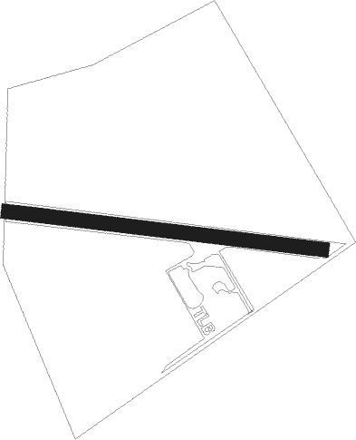
Airport details
| Country | Sweden |
| State | [Other] |
| Region | |
| Airspace | Sweden Ctr |
| Municipality | Vellinge kommun |
| Elevation | 6ft (2m) |
| Timezone | GMT +1 |
| Coordinates | 55.42842, 13.00180 |
| Magnetic var | |
| Type | land |
| Available since | X-Plane v10.40 |
| ICAO code | XESM6 |
| IATA code | n/a |
| FAA code | n/a |
Communication
Nearby Points of Interest:
Stora Hammars socken
-Rängs socken
-Hanehög
-Skegriedösen
-Håslövs socken
-Bodarps socken
-Vellinge socken
-Skegrie socken
-Fuglie socken
-Eskilstorps socken
-Maglarps socken
-Södra Åkarps socken
-Västra Tommarps socken
-Mellan-Grevie socken
-St. Hans hög
-Brytestuhög
-Gessie socken
-Hököpinge socken
-Hammarlövs socken
-Östra Grevie socken
-Skanör med Falsterbo stad
-Skanörs rådhus
-Västra Ingelstads socken
-Tygelsjö socken
-Västra Vemmerlövs socken
Nearby beacons
| code | identifier | dist | bearing | frequency |
|---|---|---|---|---|
| SUP | STURUP (MALMO) VOR/DME | 14.3 | 74° | 113 |
| KAS | KASTRUP (COPENHAGEN) VOR/DME | 16.4 | 293° | 112.50 |
| CDA | CODAN VOR/DME | 33.3 | 236° | 114.90 |
| BEL | DME | 37.6 | 292° | 114.65 |
| LJU | LJUNGBYHED VOR/DME | 39.8 | 17° | 113.40 |
| SVD | DME | 46.7 | 330° | 116.20 |
| AH | ANGELHOLM NDB | 50.4 | 353° | 417 |
| LB | ANGELHOLM NDB | 55.7 | 346° | 370 |
Disclaimer
The information on this website is not for real aviation. Use this data with the X-Plane flight simulator only! Data taken with kind consent from X-Plane 12 source code and data files. Content is subject to change without notice.