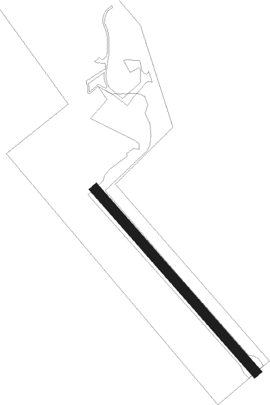
Stallarholmen - Jättne
Airport details
| Country | Sweden |
| State | [Other] |
| Region | |
| Airspace | Sweden Ctr |
| Municipality | Strängnäs kommun |
| Elevation | 51ft (16m) |
| Timezone | GMT +1 |
| Coordinates | 59.41481, 17.16348 |
| Magnetic var | |
| Type | land |
| Available since | X-Plane v10.40 |
| ICAO code | XESS14 |
| IATA code | n/a |
| FAA code | n/a |
Communication
Nearby Points of Interest:
Södermanlands runinskrifter 210
-Södermanlands runinskrifter 214
-Sö 211
-Sö 208
-Sö 206
-Sö 204
-Överselö socken
-Sö 207
-Sö 205
-Södermanlands runinskrifter 209
-Sö 213
-Sö 212
-Södermanlands runinskrifter 192
-Södermanlands runinskrifter 195
-Södermanland Runic Inscription 194
-Mervalla stone
-Södermanlands runinskrifter 201
-Södermanlands runinskrifter 202
-Södermanlands runinskrifter 203
-Ytterselö
-Södermanlands runinskrifter 189
-Södermanland Runic Inscription 328
-Södermanlands runinskrifter 196
-Södermanlands runinskrifter 197
-Roggeborgen
Nearby beacons
| code | identifier | dist | bearing | frequency |
|---|---|---|---|---|
| LNA | LENA NDB | 9.5 | 57° | 330 |
| COR | CORNER NDB | 13.4 | 116° | 388 |
| LX | ESKILSTUNA NDB | 16.1 | 253° | 402 |
| RD | VAESTERAAS AB (STOCKHOLM) NDB | 18.1 | 280° | 419 |
| ARS | AROS VOR/DME | 18.7 | 288° | 112.80 |
| LE | VAESTERAAS AB (STOCKHOLM) NDB | 21.3 | 296° | 333 |
| ASW | (STOCKHOLM) DME | 22.5 | 75° | 113.75 |
| ARL | ARLANDA (STOCKHOLM) VOR/DME | 26.9 | 72° | 116 |
| WA | ARLANDA (STOCKHOLM) NDB | 27 | 72° | 348 |
| ANW | (STOCKHOLM) DME | 27.5 | 67° | 112.05 |
| ASE | (STOCKHOLM) DME | 27.6 | 74° | 114.45 |
| TRS | TROSA VOR/DME | 30.4 | 145° | 114.30 |
| ANE | (STOCKHOLM) DME | 32 | 73° | 113.30 |
| PEO | SKAVSTA (STOCKHOLM) NDB | 37.3 | 191° | 398 |
| UP | UPPSALA NDB | 37.5 | 43° | 366 |
| NW | SKAVSTA (STOCKHOLM) NDB | 39.6 | 211° | 364 |
| ON | NORRKOPING NDB | 55.4 | 223° | 324 |
Disclaimer
The information on this website is not for real aviation. Use this data with the X-Plane flight simulator only! Data taken with kind consent from X-Plane 12 source code and data files. Content is subject to change without notice.