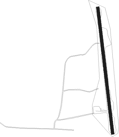
Knutby - Rimbo Gavellanda
Airport details
| Country | Sweden |
| State | [Other] |
| Region | |
| Airspace | Sweden Ctr |
| Municipality | Uppsala kommun |
| Elevation | 110ft (34m) |
| Timezone | GMT +1 |
| Coordinates | 59.86378, 18.28985 |
| Magnetic var | |
| Type | land |
| Available since | X-Plane v10.40 |
| ICAO code | XESS2 |
| IATA code | n/a |
| FAA code | n/a |
Communication
Nearby Points of Interest:
Uppland Runic Inscription 590
-Knutby socken
-Rånäs kapell
-Fasterna socken
-Edsbro socken
-Uppland Runic Inscription 515
-Rimbo socken
-Upplands runinskrifter 514
-Upplands runinskrifter 513
-Upplands runinskrifter 512
-Faringe socken
-Bladåker Church
-Bladåkers socken
-Gottröra socken
-Lohärads socken
-Uppland Runic Inscription 519
-Almunge grave field
-Ununge socken
-Uppland Runic Inscription 541
-Upplands runinskrifter 540
-Husby-Sjuhundra socken
-Upplands runinskrifter 539
-Uppland Runic Inscription 496
-Uppland Runic Inscription 504
-Rö socken
Nearby beacons
| code | identifier | dist | bearing | frequency |
|---|---|---|---|---|
| ERK | ERKEN NDB | 2.4 | 55° | 383 |
| ANE | (STOCKHOLM) DME | 12.3 | 234° | 113.30 |
| ANW | (STOCKHOLM) DME | 16 | 251° | 112.05 |
| WA | ARLANDA (STOCKHOLM) NDB | 16.8 | 241° | 348 |
| ARL | ARLANDA (STOCKHOLM) VOR/DME | 16.9 | 241° | 116 |
| ASE | (STOCKHOLM) DME | 16.9 | 236° | 114.45 |
| UP | UPPSALA NDB | 19.1 | 281° | 366 |
| TEB | TEBBY VOR/DME | 20.1 | 195° | 117.10 |
| ASW | (STOCKHOLM) DME | 21.8 | 240° | 113.75 |
| HMR | HAMMAR VOR/DME | 25.1 | 14° | 112.60 |
| LNA | LENA NDB | 34.3 | 251° | 330 |
| COR | CORNER NDB | 43.7 | 233° | 388 |
| TRS | TROSA VOR/DME | 60.5 | 220° | 114.30 |
Disclaimer
The information on this website is not for real aviation. Use this data with the X-Plane flight simulator only! Data taken with kind consent from X-Plane 12 source code and data files. Content is subject to change without notice.