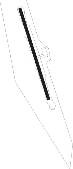
Rot - Trängslet
Airport details
| Country | Sweden |
| State | [Other] |
| Region | |
| Airspace | Sweden Ctr |
| Municipality | Älvdalens kommun |
| Elevation | 1583ft (482m) |
| Timezone | GMT +1 |
| Coordinates | 61.39244, 13.69881 |
| Magnetic var | |
| Type | land |
| Available since | X-Plane v10.40 |
| ICAO code | XESV11 |
| IATA code | n/a |
| FAA code | n/a |
Communication
Nearby Points of Interest:
Rots skans
-Älvdalens tingshus
-Älvdalens socken
Nearby beacons
| code | identifier | dist | bearing | frequency |
|---|---|---|---|---|
| NM | MORA NDB | 30.9 | 115° | 403 |
| SM | MORA NDB | 39.3 | 120° | 377 |
| OY | SVEG NDB | 43 | 44° | 368 |
| SVE | DME | 44.2 | 47° | 113.95 |
Disclaimer
The information on this website is not for real aviation. Use this data with the X-Plane flight simulator only! Data taken with kind consent from X-Plane 12 source code and data files. Content is subject to change without notice.