Finspång
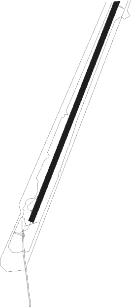
Airport details
| Country | Sweden |
| State | [Other] |
| Region | |
| Airspace | Sweden Ctr |
| Municipality | Finspångs kommun |
| Elevation | 172ft (52m) |
| Timezone | GMT +1 |
| Coordinates | 58.73008, 15.60003 |
| Magnetic var | |
| Type | land |
| Available since | X-Plane v10.40 |
| ICAO code | XESV2 |
| IATA code | n/a |
| FAA code | n/a |
Communication
Nearby Points of Interest:
Hällestads socken
-Tjällmo socken
-Risinge socken
-Risinge gamla kyrka
-Renströmska skolan
-Regna socken
-Vånga kyrka, Östergötland
-Vånga socken
-Stjärnorp Castle
-Stjärnorps kyrka
-Stjärnorps socken
-Bo socken
-Övre Hävla bruk
-Ljungs socken
-Godegårds kyrka
-Gunnar's bridge runestones
-Östergötlands runinskrifter Fv1970;310
-Kullerstads socken
-Svärtinge kyrka
-Brunneby socken
-Brunneby kyrka
-Östergötlands runinskrifter SKL1;174
-Östergötlands runinskrifter SvK43L5;175
-Östergötlands runinskrifter SKL4;175
-Östergötlands runinskrifter SKL3;175
Nearby beacons
| code | identifier | dist | bearing | frequency |
|---|---|---|---|---|
| SC | SAAB (LINKOPING) NDB | 17.9 | 189° | 300 |
| OL | SAAB (LINKOPING) NDB | 22 | 150° | 415 |
| LCF | MALMEN (LINKOPING) NDB | 24.8 | 197° | 285 |
| VSN | VASSEN VOR/DME | 25.8 | 166° | 115.25 |
| ON | NORRKOPING NDB | 25.9 | 101° | 324 |
| RB | OREBRO NDB | 30.5 | 304° | 375 |
| EN | OREBRO NDB | 37.5 | 316° | 400 |
Disclaimer
The information on this website is not for real aviation. Use this data with the X-Plane flight simulator only! Data taken with kind consent from X-Plane 12 source code and data files. Content is subject to change without notice.