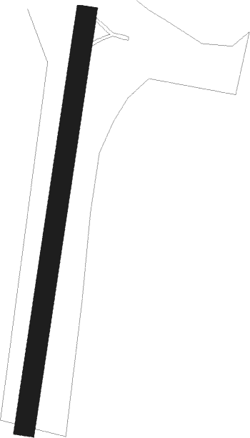
Rudiskes
Airport details
| Country | Lithuania |
| State | Vilnius County |
| Region | EY |
| Airspace | Vilnius Ctr |
| Municipality | Grendavės seniūnija |
| Elevation | 520ft (158m) |
| Timezone | GMT +2 |
| Coordinates | 54.49593, 24.71807 |
| Magnetic var | |
| Type | land |
| Available since | X-Plane v10.40 |
| ICAO code | XEY0003 |
| IATA code | n/a |
| FAA code | n/a |
Communication
Runway info
| Runway 01 / 19 | ||
| length | 667m (2188ft) | |
| bearing | 22° / 202° | |
| width | 33m (110ft) | |
| surface | grass | |
| displ threshold | 75m (246ft) / 59m (194ft) | |
Nearby beacons
| code | identifier | dist | bearing | frequency |
|---|---|---|---|---|
| VLK | DME | 9.2 | 149° | 116.70 |
| SML | DME | 10.8 | 352° | 112.50 |
| VNO | VILNIUS VOR/DME | 21.7 | 76° | 113.80 |
| AVN | VILNIUS NDB | 23.6 | 73° | 385 |
| PBZ | DME | 31.5 | 50° | 117.25 |
| KUS | KAUNAS INTL NDB | 34.9 | 308° | 343 |
| KNA | KAUNAS VOR/DME | 35.9 | 305° | 114.40 |
| GP | HRODNA NDB | 55.9 | 218° | 452 |
| G | HRODNA NDB | 57.4 | 217° | 920 |
| GRD | HRODNA VOR/DME | 58.2 | 217° | 115.75 |
| W | HRODNA NDB | 59.7 | 216° | 920 |
| WF | HRODNA NDB | 61.1 | 215° | 452 |
Disclaimer
The information on this website is not for real aviation. Use this data with the X-Plane flight simulator only! Data taken with kind consent from X-Plane 12 source code and data files. Content is subject to change without notice.
