Domna
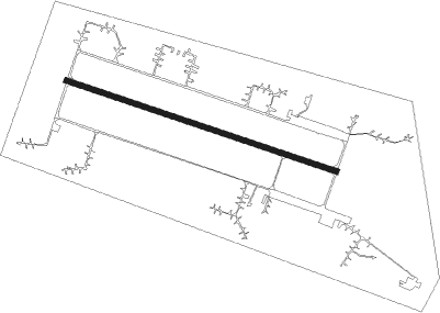
Airport details
| Country | Russian Federation |
| State | Zabaykalsky Krai |
| Region | |
| Airspace | Irkutsk Ctr |
| Municipality | Домнинское сельское поселение |
| Elevation | 2283ft (696m) |
| Timezone | GMT +9 |
| Coordinates | 51.92097, 113.10442 |
| Magnetic var | |
| Type | land |
| Available since | X-Plane v10.40 |
| ICAO code | XIAD |
| IATA code | n/a |
| FAA code | n/a |
Communication
Nearby Points of Interest:
Nearby beacons
| code | identifier | dist | bearing | frequency |
|---|---|---|---|---|
| ZM | KADALA (CHITA) NDB | 7.8 | 36° | 518 |
| Z | KADALA (CHITA) NDB | 9 | 57° | 553 |
| KTN | KADALA (CHITA) VOR/DME | 9.7 | 63° | 112.90 |
| D | KADALA (CHITA) NDB | 10.6 | 67° | 553 |
| DG | KADALA (CHITA) NDB | 11.7 | 71° | 518 |
Disclaimer
The information on this website is not for real aviation. Use this data with the X-Plane flight simulator only! Data taken with kind consent from X-Plane 12 source code and data files. Content is subject to change without notice.