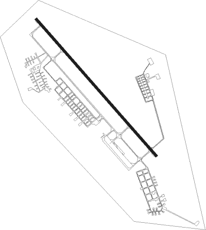
Smolenka - Cheremushki
Airport details
| Country | Russian Federation |
| State | Zabaykalsky Krai |
| Region | |
| Airspace | Irkutsk Ctr |
| Municipality | Chita |
| Elevation | 2127ft (648m) |
| Timezone | GMT +9 |
| Coordinates | 52.08323, 113.42114 |
| Magnetic var | |
| Type | land |
| Available since | X-Plane v10.40 |
| ICAO code | XIAI |
| IATA code | n/a |
| FAA code | n/a |
Communication
| Cheremushki Cheremushki ATIS | 127.400 |
| Cheremushki Cheremushki Start | 124.000 |
| Cheremushki Cheremushki Center | 130.000 |
| Cheremushki Cheremushki Departure | 128.500 |
Nearby Points of Interest:
Nearby beacons
| code | identifier | dist | bearing | frequency |
|---|---|---|---|---|
| DG | KADALA (CHITA) NDB | 4.2 | 212° | 518 |
| D | KADALA (CHITA) NDB | 4.7 | 233° | 553 |
| KTN | KADALA (CHITA) VOR/DME | 5.4 | 243° | 112.90 |
| Z | KADALA (CHITA) NDB | 6.3 | 251° | 553 |
| ZM | KADALA (CHITA) NDB | 8.9 | 259° | 518 |
Disclaimer
The information on this website is not for real aviation. Use this data with the X-Plane flight simulator only! Data taken with kind consent from X-Plane 12 source code and data files. Content is subject to change without notice.