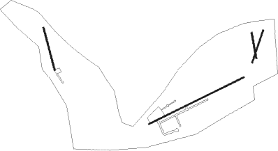
Ozark - Byrds Back Country Airstrip
Airport details
| Country | United States of America |
| State | Arkansas |
| Region | |
| Airspace | Memphis Ctr |
| Municipality | Franklin County |
| Elevation | 798ft (243m) |
| Timezone | GMT -6 |
| Coordinates | 35.68000, -93.73000 |
| Magnetic var | |
| Type | land |
| Available since | X-Plane v10.40 |
| ICAO code | XK002S |
| IATA code | n/a |
| FAA code | 51AR |
Communication
Nearby Points of Interest:
Mulberry River Bridge
-N.E. Dickerson Store
-Wiederkehr Wine Cellar
-Gray Spring Recreation Area
-St. Paul School Building
-Pettigrew School
-Williams House and Associated Farmstead
-Harmony Presbyterian Church
-Merle Whitman Tourist Cabin
-Franklin County Courthouse
-First Methodist Episcopal Church, South
-Missouri-Pacific Depot-Ozark
-Franklin County Jail
-Missouri-Pacific Depot-Altus
-German-American Bank
-O'Kane-Jacobs House
-Ozone School
-Center Cross School
-U.S. 64 Horsehead Creek Bridge
-Cannon Creek Bridge
-Clarksville Confederate Monument
-Pennington House
-Clarksville National Guard Armory
-Capt. Archibald S. McKennon House
-Johnson County Courthouse
Runway info
Nearby beacons
| code | identifier | dist | bearing | frequency |
|---|---|---|---|---|
| FSM | FORT SMITH VORTAC | 31.7 | 242° | 110.40 |
| RZC | RAZORBACK (FAYETTEVILLE) VORTAC | 38.9 | 325° | 116.40 |
| RUE | RUSSELLVILLE NDB | 40.1 | 124° | 379 |
| HRO | HARRISON VOR/DME | 45.8 | 39° | 112.50 |
| SLG | SILOAM SPRINGS NDB | 47.9 | 304° | 284 |
| PGO | RICH MOUNTAIN (PAGE) VORTAC | 73.9 | 221° | 113.50 |
Disclaimer
The information on this website is not for real aviation. Use this data with the X-Plane flight simulator only! Data taken with kind consent from X-Plane 12 source code and data files. Content is subject to change without notice.

