Fayetteville - Ptc
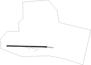
Airport details
| Country | United States of America |
| State | Tennessee |
| Region | |
| Airspace | Memphis Ctr |
| Municipality | Lynchburg |
| Elevation | 818ft (249m) |
| Timezone | GMT -6 |
| Coordinates | 35.30000, -86.47000 |
| Magnetic var | |
| Type | land |
| Available since | X-Plane v10.40 |
| ICAO code | XK008I |
| IATA code | n/a |
| FAA code | 08TN |
Communication
Nearby Points of Interest:
Lynchburg Historic District
-Whitaker-Motlow House
-Bobo Hotel
-Green-Evans House
-Grassland Farm
-Hugh Bright Douglas House
-McDonald-Bolner House
-Borden Milk Plant
-Fly Manufacturing Company Building
-Old Bedford County Jail
-Frierson-Coble House
-Gov. Prentice Cooper House
-Winston Evans House
-Absalom Lowe Landis House
-Joe Chase Adams House
-Asia School
-Franklin County Courthouse
-Estill-Fite House
-Arnold Air Force Base
-Haynes House
-Martin House
-Lairdland Farm House
-Coffee County Courthouse
-Whitman-Cobb House
-Nathan Bedford Forrest Boyhood Home
Nearby beacons
| code | identifier | dist | bearing | frequency |
|---|---|---|---|---|
| SYI | SHELBYVILLE VOR/DME | 15.8 | 7° | 113.55 |
| RQZ | ROCKET (HUNTSVILLE) VORTAC | 31.2 | 198° | 112.20 |
| FQW | WALTER HILL (MURFREESBORO) NDB | 40 | 9° | 371 |
| DCU | DME | 45.4 | 216° | 112.80 |
| BNA | NASHVILLE VORTAC | 51.3 | 346° | 114.10 |
| GHM | (CENTERVILLE) DME | 57.6 | 299° | 111.60 |
| HEM | HUCHN NDB | 59.7 | 52° | 233 |
Disclaimer
The information on this website is not for real aviation. Use this data with the X-Plane flight simulator only! Data taken with kind consent from X-Plane 12 source code and data files. Content is subject to change without notice.