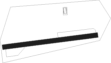
Wasilla - Green's Strip
Airport details
| Country | United States of America |
| State | Alaska |
| Region | |
| Municipality | Matanuska-Susitna |
| Elevation | 324ft (99m) |
| Timezone | GMT -9 |
| Coordinates | 61.59800, -149.35420 |
| Magnetic var | |
| Type | land |
| Available since | X-Plane v10.40 |
| ICAO code | XKAK65 |
| IATA code | n/a |
| FAA code | AK65 |
Communication
Nearby Points of Interest:
Wasilla Elementary School
-Teeland's Country Store
-Raymond Rebarchek Colony Farm
-Campbell House
-Bailey Colony Farm
-Palmer Depot
-United Protestant Church
-Hyland Hotel
-Spring Creek Lodge
Nearby beacons
| code | identifier | dist | bearing | frequency |
|---|---|---|---|---|
| BGQ | BIG LAKE VORTAC | 17.6 | 267° | 112.50 |
| EDF | ELMENDORF (ANCHORAGE) TACAN | 23.7 | 230° | 113.40 |
| TED | ANCHORAGE VOR/DME | 31.1 | 235° | 113.15 |
| TKA | TALKEETNA VOR/DME | 47.1 | 313° | 116.20 |
| PEE | PETERS CREEK (TALKEETNA) NDB | 48.7 | 315° | 305 |
Disclaimer
The information on this website is not for real aviation. Use this data with the X-Plane flight simulator only! Data taken with kind consent from X-Plane 12 source code and data files. Content is subject to change without notice.