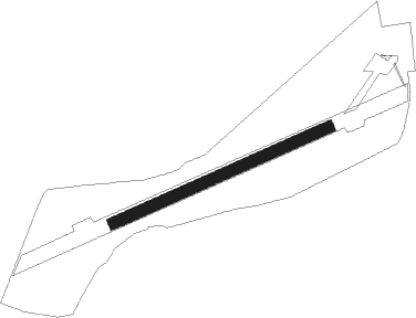
Slavonski Brod
Airport details
| Country | Croatia |
| State | Brod-Posavina County |
| Region | LD |
| Airspace | Zagreb Ctr |
| Municipality | Slavonski Brod |
| Elevation | 286ft (87m) |
| Timezone | GMT +1 |
| Coordinates | 45.15589, 17.98697 |
| Magnetic var | |
| Type | land |
| Available since | X-Plane v10.40 |
| ICAO code | XLD0006 |
| IATA code | n/a |
| FAA code | n/a |
Communication
| Slavonski Brod Jelas Radio | 123.500 |
Nearby Points of Interest:
Serbian Orthodox churches in Šamac
-Maison Gradašćević
-Husejnija džamija
-Mulalić house
-Samostan u Tolisi
Nearby beacons
| code | identifier | dist | bearing | frequency |
|---|---|---|---|---|
| DER | DERVENTA VOR/DME | 10.3 | 186° | 112.40 |
| BLK | BANJA LUKA NDB | 31.1 | 265° | 340 |
| LU | BANJA LUKA NDB | 31.7 | 254° | 397 |
| LAK | BANJA LUKA VOR/DME | 32 | 253° | 115.30 |
| NA | BANJA LUKA NDB | 32.2 | 251° | 383 |
| CE | CEPIN NDB | 32.9 | 57° | 372 |
| KLS | DME-ILS | 38.7 | 69° | 109.35 |
| OSJ | OSIJEK NDB | 40.1 | 71° | 422 |
| TU | TUZLA NDB | 45.9 | 144° | 445 |
| VBA | BARNA VOR/DME | 50.1 | 305° | 117.40 |
| ZV | ZIVINICE NDB | 50.1 | 136° | 402 |
| PP | POGANY (PECS) NDB | 52 | 16° | 412 |
| TZU | TUZLA VOR/DME | 52.7 | 133° | 108.80 |
Disclaimer
The information on this website is not for real aviation. Use this data with the X-Plane flight simulator only! Data taken with kind consent from X-Plane 12 source code and data files. Content is subject to change without notice.
