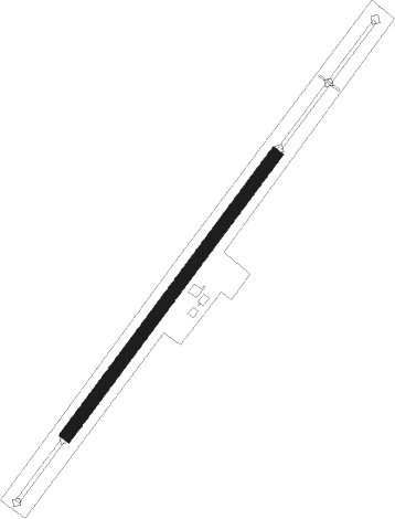
Vinkovci - Vinkovci / Sopot
Airport details
| Country | Croatia |
| State | Vukovar-Srijem County |
| Region | LD |
| Airspace | Zagreb Ctr |
| Municipality | Općina Andrijaševci |
| Elevation | 273ft (83m) |
| Timezone | GMT +1 |
| Coordinates | 45.25077, 18.75877 |
| Magnetic var | |
| Type | land |
| Available since | X-Plane v10.40 |
| ICAO code | XLD0007 |
| IATA code | n/a |
| FAA code | n/a |
Communication
| Vinkovci / Sopot Vinkovci Radio | 123.500 |
Nearby Points of Interest:
Samostan u Tolisi
-Bođani monastery
-Serbian Orthodox churches in Šamac
-Crkva Sv. Petra i Pavla
-Rimokatolička crkva Sv. Ivana Nepomuka
-Crkva Sv. Gavrila
-Rimokatolička crkva Sv. Katarine
-église de la Mère-de-Dieu de Morović
-Crkva Sv. Nikole
-Husejnija džamija
-Maison Gradašćević
-Rimokatolička crkva Svetog Trojstva
-Crkva Sv. Dimitrija
-Gradačac Castle
Nearby beacons
| code | identifier | dist | bearing | frequency |
|---|---|---|---|---|
| OSJ | OSIJEK NDB | 12.7 | 21° | 422 |
| KLS | DME-ILS | 13 | 9° | 109.35 |
| CE | CEPIN NDB | 18.6 | 324° | 372 |
| SMI | MITROVICA VOR/DME | 31.9 | 110° | 117 |
| DER | DERVENTA VOR/DME | 37 | 251° | 112.40 |
| ZV | ZIVINICE NDB | 47.4 | 188° | 402 |
| TZU | TUZLA VOR/DME | 47.6 | 182° | 108.80 |
| TU | TUZLA NDB | 47.9 | 200° | 445 |
| PP | POGANY (PECS) NDB | 50.4 | 325° | 412 |
Disclaimer
The information on this website is not for real aviation. Use this data with the X-Plane flight simulator only! Data taken with kind consent from X-Plane 12 source code and data files. Content is subject to change without notice.
