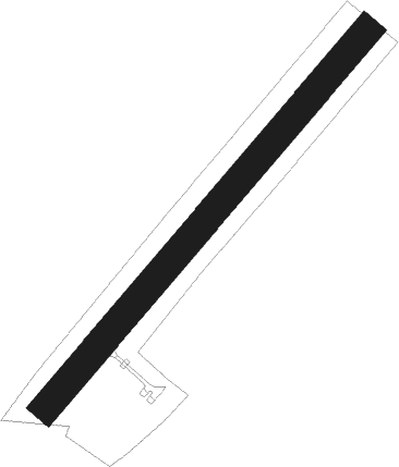
Zvekovac
Airport details
| Country | Croatia |
| State | [Other] |
| Region | |
| Airspace | Zagreb Ctr |
| Municipality | Općina Dubrava |
| Elevation | 374ft (114m) |
| Timezone | GMT +1 |
| Coordinates | 45.82317, 16.50013 |
| Magnetic var | |
| Type | land |
| Available since | X-Plane v10.40 |
| ICAO code | XLD000F |
| IATA code | n/a |
| FAA code | n/a |
Communication
| Zvekovac Zvekovac Radio | 123.500 |
Nearby Points of Interest:
Ibler Building
-Archbishop's Palace, Zagreb
Nearby beacons
| code | identifier | dist | bearing | frequency |
|---|---|---|---|---|
| ZAG | ZAGREB NDB | 9.1 | 292° | 367 |
| SK | S.KRALJEVEC (ZAGREB) NDB | 14 | 267° | 350 |
| VG | VELIKA GORICA (ZAGREB) NDB | 20 | 258° | 325 |
| LUK | DME | 22.7 | 255° | 109.85 |
| VBA | BARNA VOR/DME | 27.4 | 97° | 117.40 |
| VAR | VARAZDIN NDB | 29.7 | 346° | 344 |
| PIS | PISAROVINA NDB | 30.4 | 252° | 424 |
| KOS | KOSTAJNICA NDB | 35.4 | 176° | 316 |
| JAP | DME | 37.6 | 265° | 117.65 |
| COK | CERKLJE VOR/DME | 41.2 | 275° | 108.25 |
| MR | MARIBOR NDB | 44.1 | 308° | 334 |
| MI | OREHOVA VAS (MARIBOR) NDB | 50.7 | 309° | 355 |
| OMA | OMARSKA VOR/DME | 53.5 | 161° | 117.90 |
| BLK | BANJA LUKA NDB | 54.1 | 134° | 340 |
| SME | SARMELLEK NDB | 57.6 | 38° | 436 |
| LU | BANJA LUKA NDB | 61.6 | 137° | 397 |
| LAK | BANJA LUKA VOR/DME | 62.6 | 138° | 115.30 |
| NA | BANJA LUKA NDB | 63.8 | 138° | 383 |
Disclaimer
The information on this website is not for real aviation. Use this data with the X-Plane flight simulator only! Data taken with kind consent from X-Plane 12 source code and data files. Content is subject to change without notice.
